News
Archive of News and Information stored under the News category.
Spring SOGLs

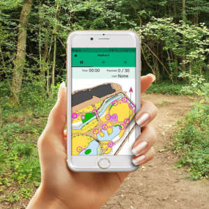
Below is a list of events set up for the Spring 2021 SOGL (pronounced soggle) league. This series of events was set up whilst we couldn't meet to orienteer. They are designed to be run using the MapRun software although any GPS recording device can be used and a .gpx file uploaded later. See the accompanying news item for more detail. All runs were completed by May 17th, but they will still be available to run after this. MapRun data can be downloaded from UK/Sussex/SOGL folder.
List of available MapRuns
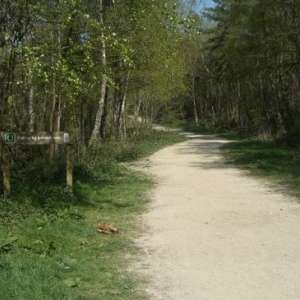
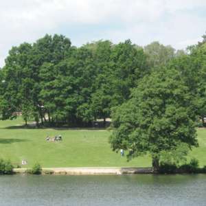
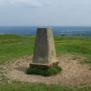
Below is a list of runs that are available using the MapRun app (see previous news item for further details on how to use this). Some use orienteering maps while others use OS maps of open access land.
New Committee Members

Following the SO AGM, we have some new committee members and some change in roles. Ralph Phillips steps back into the role of Chairman, supported by Tim Hulley as Deputy Chair. Ed Forman takes the role of Treasurer, Ray Kingdom takes the role of Membership Secretary and Joe Barrett takes the role of SI coordinator. In addition Michael Merritt becomes our Honorary Reporting Account. Our thanks go to ...
2020 Trail Runs
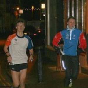
Below is a list of Summer Trail Runs that have been set up. Groups of up to six can run together on a Thursday evening (with social distancing), use the Doodle Poll to sign up for a particular time slot. Alternatively do the run whenever you want. Each run will also be set up on MapRun (for those now addicted to their beeping phone) and can be found in the UK/Sussex/TrailRuns folder. A new run should be added every Wednesday.
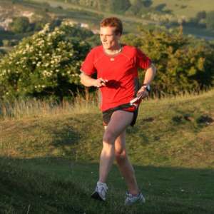
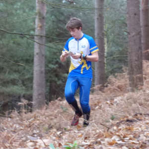
SO GPS League (SOGL)
SO is introducing a GPS based orienteering league through this winter season. The objectives are to enthuse you to ‘get out there’, keep fit and hone your techniques.
New courses will be released for the league on the MapRun website and announced on the SO website. To count for the SOGL you will need to run the course with your GPS device (smartphone or GPS watch) within the adverstised ‘time window’ for that course. SOGL results will be compiled and publicised regularly using SO members’ results extracted from MapRun.
It is fun and flexible, yet there is still the motivation of competing against other members.
Brighton GPS courses
GPS enabled courses are now live, these are part of the Southern England GPS Orienteering League as well as the Southdowns GPS League.
Final details are available here, scroll down to download courses and control descriptions. The MapRun files can be found in the UK/Sussex/BCR12 folder. For league purposes the courses should be completed by December 31st.
Autumn Club Nights
Club nights return on Tuesday September 29th. As with the Summer Trail Runs these are being run under current SO safety guidelines and British Orienteering's Code of Conduct:
i) Participating in groups of six or less
ii) Pre-registering a start time slot using this Doodle Poll
iii) Printing your own map
The list of forthcoming activities are shown below, each week's activity will be published here a day or so beforehand.
Brighton City Race goes virtual for 2020

Due to the current COVID-19 restrictions, the Brighton City Race as we know it will not run in 2020. However for those of you wanting your Brighton experience it is being included in the 2020 Southern England GPS Orienteering League - watch out for further details. In 2021, the race will no doubt return to the Lanes which have been revamped since their last use in 2018. The Brighton Society describes the additions here.
Southdowns Orienteers AGM 2020

The club AGM will be held online on Friday 16th October at 7pm. All are welcome to participate.
Zoom meeting details will be shared nearer the time.
Wildgoose Wood test event

Our first event under the new Covid-secure guidelines will take place on Saturday Sept 12th. Please read the event details carefully and in particular note:
The event is only open to SO club members
All participants must adhere to the BOF Covid code of conduct
Pre-entry only and entries have now closed Entry List
Payment will be via a contactless card reader at the event
Orienteering restart
Following British Orienteering's guidance that the sport can restart from August 1st the club's committee have discussed plans for restarting. It was felt inappropriate to consider holding events in public parks at this time and so the remaining Park-O fixtures have been cancelled. It is hoped though to hold some SOG-type events from October, so watch this space for further news.
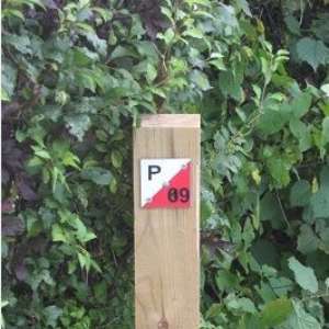
Permanent Orienteering Courses
Desperate to get back into orienteering as lockdown eases?
Looking for a new outdoor activity for today’s weird world?
Permanent Orienteering Courses might be something to try.
Watch the BOF video to see what its like
Courses are available locally near Horsham, Crawley, Brighton and Eastbourne – more details here
These courses cater for all ages, levels of experience, fitness and skill. All have options for buggies and wheelchairs.
Evening Trail Runs
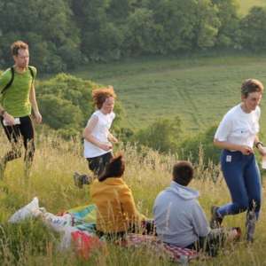
The regular summer evening trail runs are starting again but with some changes to allow compliance with Government rules. Notably:
i) No groups of more than 6
ii) Social distancing to be maintained between runners
iii) Please print and bring your own map
To facilitate i) a Doodle poll has been set up where you can book a slot on a Thursday evening, if you would like to run with others. Note that if 6 individuals/households have already signed up for a slot you will have to choose another.
Tilgate Colour Coded MapRun
For those members that "don't do score or sprint" here is a more traditional colour coded 'event' set up for MapRun. See previous news items for instructions on using MapRunF and please read the safety advice. Short brown, green and orange courses have been set up - details can be found on the list of available runs page.
Southdowns 10mile Trail Challenge
The latest MapRun offering is a more extreme linear course using a combined Wolstonbury/Newtimber/Devil's Dyke map. Two courses are on offer the main one being approximately 10 miles long (actual distance), the shorter one 6 miles. Although aimed at runners there are route choices to be made and some simple navigation. See previous news items on using MapRun or a GPS devise to record your run and advice on safety.