SOG A3Pashley + CoachingSat 05 October, 2019
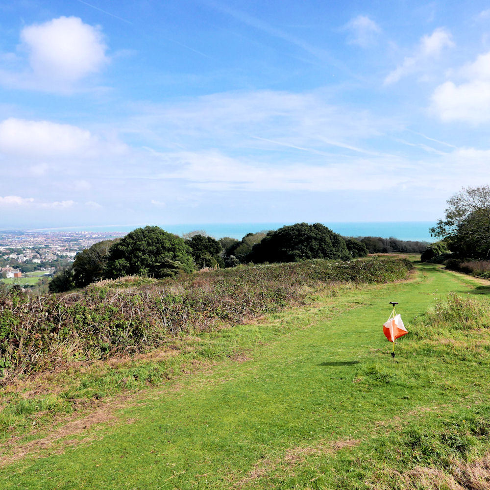
Pashley in the Sunshine
Credit:
Peter C
Near: Eastbourne
Level of event: Local
Type of event:
Race
Results
Report
All final results posted. Control 130 has been made optional for the Orange, Green and Blue courses, and the time for the legs to and from control 130 has been removed from the results.
Planner's comments
Unfortunately control 130 which was used in Orange, Green and Blue was taken away by somebody just before start, so the results will be corrected.
Fortunately we found all parts of the control later. The area had been overgrown but the council had promised some clearing and I tried to plan with this in mind. Mowing/clearing took place on Wednesday. This brought the area more 'up to date' with the map.
My plan was to have the controls fairly easy to find but with a choice of routes and some fast running. The climbs do not seem to have been a problem.
Thanks to the helpers: Tim, Darren, John, Alan, Anna, Amelia, Madelyn, Jas, Patrick, Chris, Pete and the IT-team.
SI Comments
Nice day out at Pashley. Thanks to all helpers, particularly Einar for the courses, for making the event possible.
RouteGadget
Is a web app for sharing and comparing orienteering routes. You can draw your own route or upload a GPS track from your watch. It also allows you to watch an animated replay with a simulated mass start.
Pre event info
A free coaching session will take place from 10.00-11.00. Perfect for newcomers, juniors and club members, our friendly bunch of coaches will have plenty of tips and advice. The SOG start will remain open until 11.30 so that participants can take part in the main event after the coaching session. Please let Robert Lines know if you will attend.
SOG Series Info
SOGs are friendly club events where children and newcomers are very welcome. Yellow and Orange courses are suitable for children to run on their own with a bit of practice. Adults are welcome to shadow children until they are confident to go on their own. Green and Blue courses are run or walked by any age group - you can race competitively or just enjoy the woodland.
There are two series of events - autumn and spring of approximately 8 events each. Electronic timing (SI) is used.
Help on the day always appreciated.
Location Info
Nearest town: Eastbourne
- Postcode: BN20 7XX *
- Lat,Lng:50.75806,0.25001
- Grid Ref: TV587978
- Google Map
- Streetmap (OS 50k)
- Bing Map (OS 50k)
- OpenStreetMap
* Postcodes are not very precise in some areas, so don't rely on them for an exact location.
Directions / Parking
From the West use A259, go through East Dean and continue towards Eastbourne for about 1.2 km then turn right onto B2103 signed for Beachy Head. From East take A259 out of Eastbourne past Eastbourne Downs Golf Club to top of hill. Then turn left onto B2103. Car park is 900 m along this road on your right.
Public Transport
Eastbourne – Brighton buses pass within 1km of car park
Course Information
Yellow 1.7k 70m climb
Orange 2.5k 90m climb
Green 3.7k 150m climb
Blue 5.7k 220m climb.
Entry Details
Pre-entry via Racesignup.co.uk Newcomers are welcome and eligible for a free trial session - if you'd like to reserve a map or discuss the event please email our membership secretary.
BOF member fees: Seniors £6.50, Juniors £3.25, SO Juniors free.
Non member fees: Seniors £7.50, Juniors £3.25.
'Dibber' hire:
Electronic punching (SI) chips are available to hire. SIAC (contactless): £2 (juniors £1), non-SIAC (not contactless) £1 (juniors £0.5)
Registration open
9:45 to 10:45
Start Times
10:00 to 11:00. Courses close at 12:30.
Map Details
Pashley and the Warren, 1:7500, surveyed 2015, updated 2018 by Chris Hooker.
Terrain Description
Pashley and The Warren should offer great sea views if we're lucky, as well as a variety of interesting earth features. In particular there is a Cross Dyke (long ditch) which is likely to have been a way of dividing land up in the Bronze Age and a number of tumuli or burial mounds. Don't miss the dew pond which is an artificial pond usually sited on the top of a hill, intended for watering livestock. Dew ponds are used in areas where a natural supply of surface water may not be readily available.
The course takes in a mixture of steep wooded slopes, fast open grassland and patches of thicket.
Dog restrictions
Dogs allowed
Facilities
None
Miscellaneous
The area is popular with dog walkers and cyclists.
Contacts / Officials
Planner: Einar Solgaard
Organiser:
Controller:
Photo Gallery
click/tap photos for a larger version
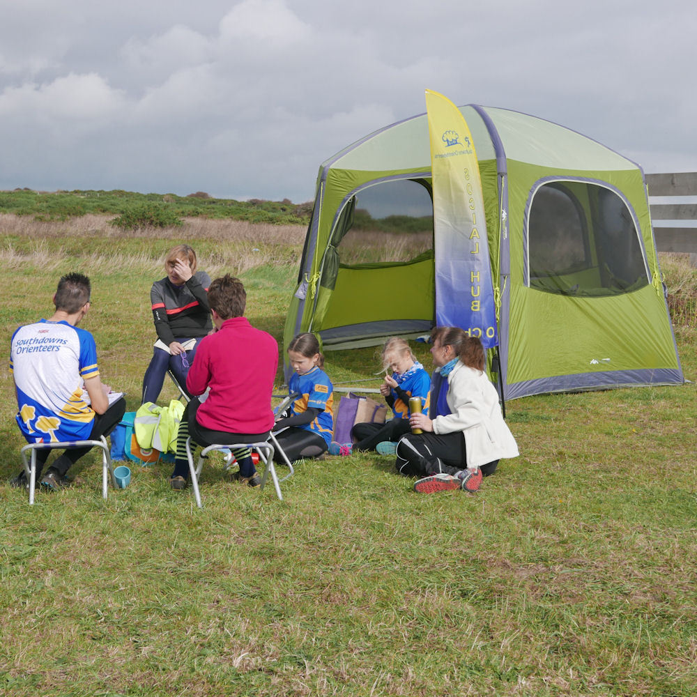
Post-run Chat at the Hub Tent
Credit:
Peter C