SOG S7Barnstake CopseSat 13 April, 2019
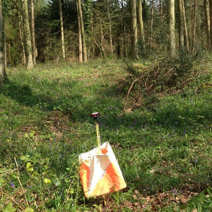
One of the many pits at Barnstake Copse
Near: Arundel
Level of event: Local
Type of event:
Race
Results
Report
Results, splits, Winsplits and League Tables posted. Routegadget later in the week.
Planners Comments
My first comment is to all the competitors on the Blue course whose run and enjoyment was spoilt by some unknown user of the Estate who stole control 10 code 88 from a depression in the south of the area. 2 legs have been taken out so visiting the control site should not effect your run time. Time taken out is from 9 minutes to 25 minutes. It seems that controls 68 and 89 caught out a few competitors on the Blue course though to be fair to the planner they were over 120 metres apart with different description and on the opposite side of the track.
Even with the loss of control 10 on the Blue course I believe I just about achieved my aim to get the top competitors in, in about 40 minutes. The green I was hoping for the top competitors to come in, in about 35 minutes, but was blown away by Stan Heap who travelled over ground at 4.9 min per klm.
Though a lovely day spoilt by the loss of a control I hope many of the competitors enjoyed the twisting turning directions on the blue and green courses. A thought for the future do we print more blue course maps as this is the second time in three events that the uptake of blue course has been more than the map total printed.
Many thanks the members of the club who volunteered to help me put on this event with special thanks to Les Hooper, Andy Ward and Michael Merritt parking, Di Turner and David Cussons start, Mike Turner, Alan Velecky, Mike Murray, Chris Hooker and Will Heap control collections, Lyn Phillips and Vikki Sampson EOD car, SI team Joe Barrett, Bridget Hooper and Les Coles and finally Rob Leathley who help me collect in the red and white tap.
For the future: The club are looking for more members to help with the delivery of the SI computer support at events. You will not be asked to help without being trained first. Give it a go and contact either Les Coles, Joe Barrett or Ralph Phillips.
Planner
Ralph Phillips
RouteGadget
Is a web app for sharing and comparing orienteering routes. You can draw your own route or upload a GPS track from your watch. It also allows you to watch an animated replay with a simulated mass start.
SOG Series Info
SOGs are friendly club events where children and newcomers are very welcome. Yellow and Orange courses are suitable for children to run on their own with a bit of practice. Adults are welcome to shadow children until they are confident to go on their own. Green and Blue courses are run or walked by any age group - you can race competitively or just enjoy the woodland.
There are two series of events - autumn and spring of approximately 8 events each. Electronic timing (SI) is used.
Help on the day always appreciated.
Location Info
Nearest town: Arundel
- Postcode: BN18 9QG *
- Lat,Lng:50.86331,-0.47837
- Grid Ref: TQ065082
- Google Map
- Streetmap (OS 50k)
- Bing Map (OS 50k)
- OpenStreetMap
* Postcodes are not very precise in some areas, so don't rely on them for an exact location.
Directions / Parking
From Worthing. Follow the A27 west to the crossing of the A27 to Blakehurst Lane at grid TQ 046058. Continue for 0.9 miles passing Blakehurst Farm (BN18 9QG) to the T-junction at the north end of Blakehurst Lane turn right onto the Estate road. Continue for approximately 1.2 mile or until you see the parking marshall.
From Arundel. From Cross Bush roundabout follow A27 east for 1 mile and turn left onto Blakehurst Lane then follow details as above.
Parking Charge £1 per car
Public Transport
Arundel
Course Information
Blue 5.8km climb 90m
Green 4.4km climb 60m
Orange 2.6km climb 45m
Yellow 1.7km climb 30m
Entry Details
Pre-entry via Racesignup.co.uk Newcomers are welcome and eligible for a free trial session - if you'd like to reserve a map or discuss the event please email our membership secretary.
BOF member fees: Seniors £6.50, Juniors £3.25, SO Juniors free.
Non member fees: Seniors £7.50, Juniors £3.25.
'Dibber' hire:
Electronic punching (SI) chips are available to hire. SIAC (contactless): £2 (juniors £1), non-SIAC (not contactless) £1 (juniors £0.5)
Registration open
9:45 to 10:45
Start Times
10:00 to 11:00. Courses close at 12:30.
Map Details
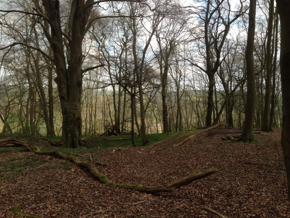
Barnstake Copse, Patching. Scale 1:10,000 map updated by Mike Gammon Spring 2017 with minor revision Feb 2018
Terrain Description
The event area is predominantly runnable woodland with a good track network. Some brambles, but most of the route legs have missed the thick bramble areas. Many beautiful bluebells are out; try not to step on them.
Dog restrictions
Yes, in the parking area only. Please be aware Alabama Rot has been reported in the Patching area.
Facilities
None. Please bring your own water for rehydration after your run.
Miscellaneous
Race horses are often exercised along the tracks please give way to them and when motoring to the event the maximum speed limit on the Estate is 20mph
Contacts / Officials
Planner: Ralph Phillips
Organiser:
Controller:
Photo Gallery
click/tap photos for a larger version
Barnstake Copse
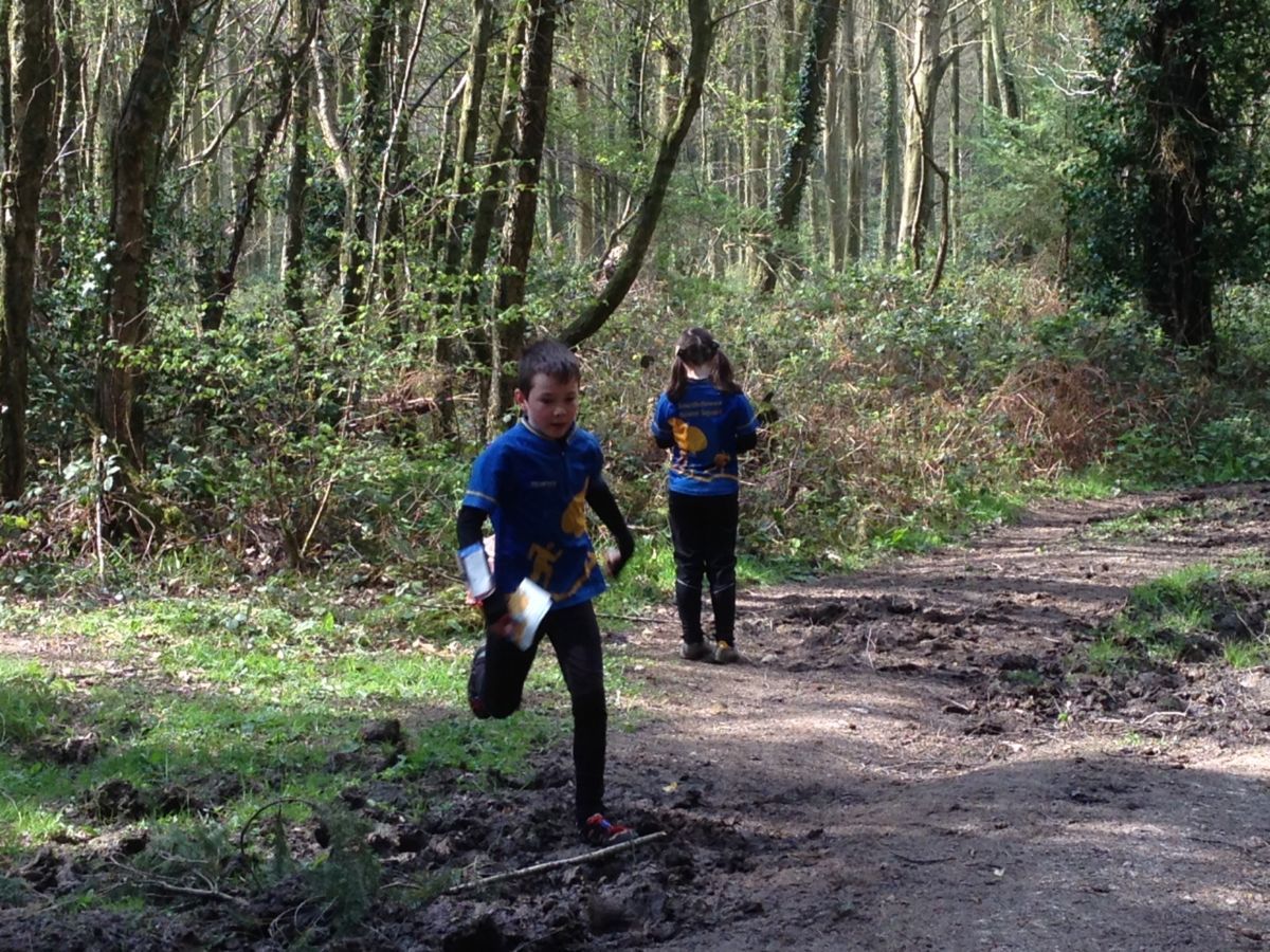
Juniors running at Barnstake Copse