SOG A9Sullington WarrenSat 18 January, 2020
Near: Storrington
Level of event: Local
Type of event:
Race, Coaching
Results
Report
Results, splits, Winsplits and final League Table are published. Routegadget later.
Many thanks to Andrew (Garry) Phillips for his first planned course which competitors stated they enjoyed very much. He found it very rewarding and wants to thank many club members who helped him put on the event and will be back volunteering to plan another event later in the year.
RouteGadget
Is a web app for sharing and comparing orienteering routes. You can draw your own route or upload a GPS track from your watch. It also allows you to watch an animated replay with a simulated mass start.
SOG Series Info
SOGs are friendly club events where children and newcomers are very welcome. Yellow and Orange courses are suitable for children to run on their own with a bit of practice. Adults are welcome to shadow children until they are confident to go on their own. Green and Blue courses are run or walked by any age group - you can race competitively or just enjoy the woodland.
There are two series of events - autumn and spring of approximately 8 events each. Electronic timing (SI) is used.
Help on the day always appreciated.
Location Info
Nearest town: Storrington
- Postcode: RH20 3HN *
- Lat,Lng:50.92367,-0.43538
- Grid Ref: TQ101149
- Google Map
- Streetmap (OS 50k)
- Bing Map (OS 50k)
- OpenStreetMap
* Postcodes are not very precise in some areas, so don't rely on them for an exact location.
Directions / Parking
Directions and Parking From the west: Enter Storrington on A283 or B2139 and at East end of High St turn left at mini roundabout up School Hill and follow past 2 mini roundabouts to Rock Road College & car parking. From the East: Approach Storrington from the A24/A283 Washington roundabout. After 2km turn right at junction on to Water Lane, follow to mini roundabout and turn right for College & car parking. Follow orienteering signs to parking area TQ 101149.
There will be a parking fee of £1 per car.
Public Transport
Pulborough railway station 9km, No1 bus Worthing to Pulborough and No100 bus Steyning to Pulborough
Course Information
Blue 5.2 km, 170m of climb
Green 4.2 km, 110m of climb
Orange 2.4 km, 60m of climb
Yellow 1.6km, 40m of climb
Entry Details
Pre-entry via Racesignup.co.uk Newcomers are welcome and eligible for a free trial session - if you'd like to reserve a map or discuss the event please email our membership secretary.
BOF member fees: Seniors £6.50, Juniors £3.25, SO Juniors free.
Non member fees: Seniors £7.50, Juniors £3.25.
'Dibber' hire:
Electronic punching (SI) chips are available to hire. SIAC (contactless): £2 (juniors £1), non-SIAC (not contactless) £1 (juniors £0.5)
Registration open
9:45 to 10:45
Start Times
10:00 to 11:00. Courses close at 12:30.
Map Details
Sullington Warren, updated by Roger Maher Winter 2017. Scale 1:5,000, A4.
Terrain Description
NT land with mixed runnable and slow run undulated forest and open areas with a good network of tracks.
Dog restrictions
Dogs allowed, but be aware that local dog walkers use the area.
Facilities
Toilets possibly on College site. Basic first aid available at registration.
Miscellaneous
From registration walk along the side of College playing fields and turn left at mini roundabout. Cross from pavement after approx 100m over busy road. Take due care. Enter Sullington Warren and follow marked track to start area.
Contacts / Officials
Planner: Garry Phillips
Organiser:
Controller: Ralph Phillips
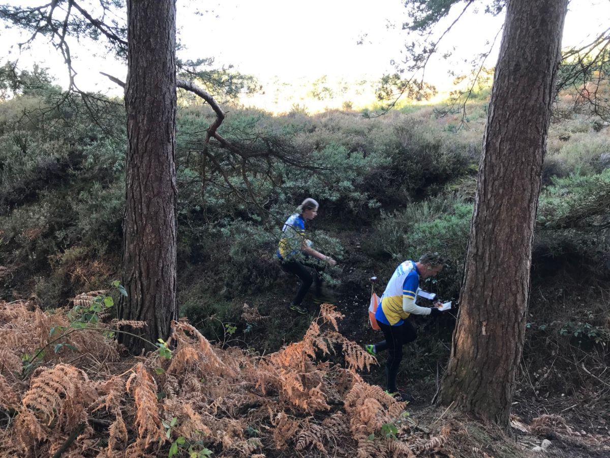
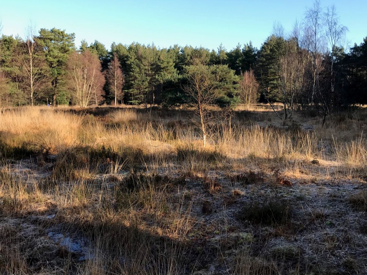
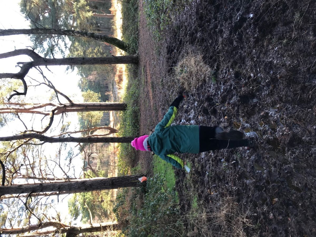
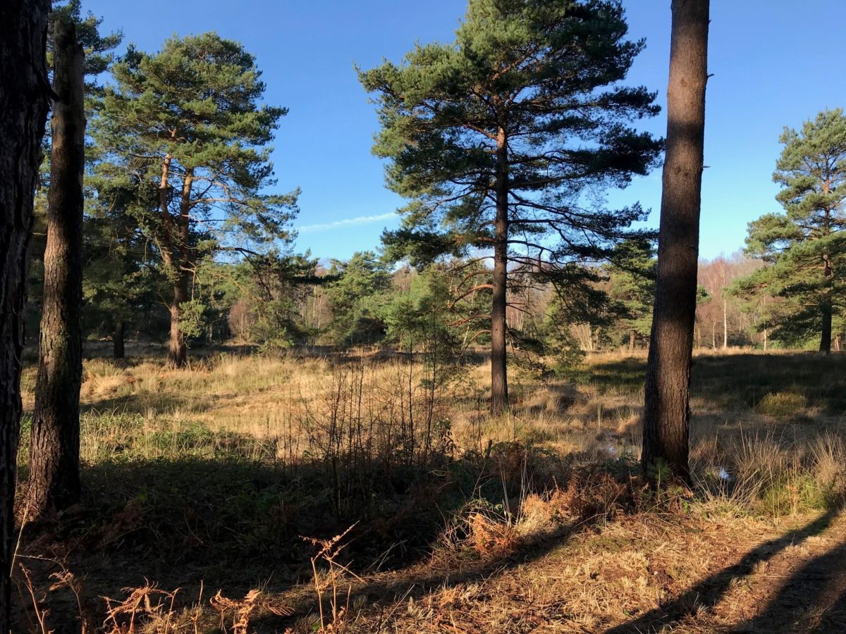
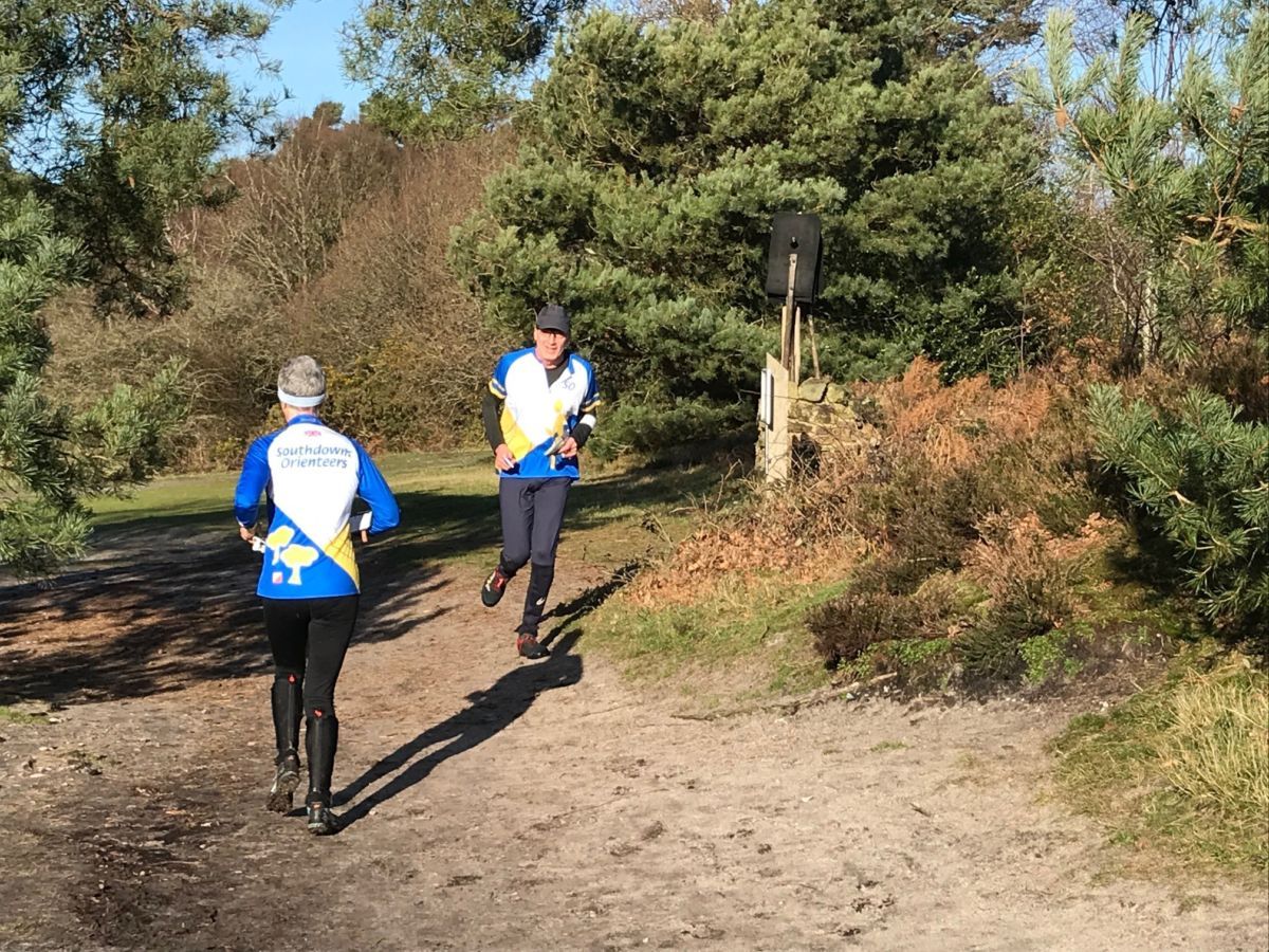
Photo Gallery
click/tap photos for a larger version