SOG A7Sullington Warren + CoachingSat 05 January, 2019

Near: Storrington
Level of event: Local
Type of event:
Race, Coaching
Results
Report
The results have been posted. NOTICE Peter Stubberfield's car keys went missing from the key box at the SI tent. The car key was attached to a long piece of bright yellow string if any member found his keys please inform Ralph Phillips SI Team lead. Stand-down found by a competitor.
Planners Comments
Thank you all for coming along to Sullington Warren, a compact but good little area. The idea was to keep everyone changing direction without covering to much of the same ground, which seems to have been achieved. Hopefully everyone enjoyed their runs on a surprisingly dry area for the time of year.
It was also good to see the local Air Cadet Squadron taking part - hopefully you all enjoyed it and we'll see you again before long.
An error the night before was identified that meant all the courses were 16% shorter than advertised, however this doesn’t appear to have detracted from the event. There may have been some comments if it was 16% longer!
The event couldn’t have happened without the help from various people. Tom and Julia on registration, Steve for organising, Penny & Gethyn for sorting out car parking with on the day help from John, both Mike M’s for control collecting, Karen for assistance completing the risk assessment, Andy for gaining National Trust permission and of course the SI team of Ralph, Paul, Mike and Les. Thanks to anyone else I have missed out.
Nick Jarvis
Planner
RouteGadget
Is a web app for sharing and comparing orienteering routes. You can draw your own route or upload a GPS track from your watch. It also allows you to watch an animated replay with a simulated mass start.
SOG Series Info
SOGs are friendly club events where children and newcomers are very welcome. Yellow and Orange courses are suitable for children to run on their own with a bit of practice. Adults are welcome to shadow children until they are confident to go on their own. Green and Blue courses are run or walked by any age group - you can race competitively or just enjoy the woodland.
There are two series of events - autumn and spring of approximately 8 events each. Electronic timing (SI) is used.
Help on the day always appreciated.
Location Info
Nearest town: Storrington
- Postcode: RH20 3AB *
- Lat,Lng:50.92355,-0.43539
- Grid Ref: TQ098148
- Google Map
- Streetmap (OS 50k)
- Bing Map (OS 50k)
- OpenStreetMap
* Postcodes are not very precise in some areas, so don't rely on them for an exact location.
Directions / Parking
Car Parking at Steyning Grammar School Rock Road site NE of Sullington Warren on Rock Road, Storrington. Car parking will be signed from the junction of the B2139 and Water Lane at TQ098148 and will be £1 per car. The start/finish area is on the northern edge of the area (about 400 metres on pavements along the B2139 then crossing the road into Sullington Warren for the final 100 metres). About a 5 minute walk for most people
Public Transport
Buses to Storrington. Nearest trains at Pulborough.
Course Information
Blue – 5.9km, 165 metres climb, 26 Controls – two sided map
Green – 4.3km, 120 metres climb, 19 Controls – two sided map
Orange – 2.5km, 55 metres climb, 14 Controls
Yellow – 2.0km, 45 metres climb, 11 Controls
Entry Details
Pre-entry via Racesignup.co.uk Newcomers are welcome and eligible for a free trial session - if you'd like to reserve a map or discuss the event please email our membership secretary.
BOF member fees: Seniors £6.50, Juniors £3.25, SO Juniors free.
Non member fees: Seniors £7.50, Juniors £3.25.
'Dibber' hire:
Electronic punching (SI) chips are available to hire. SIAC (contactless): £2 (juniors £1), non-SIAC (not contactless) £1 (juniors £0.5)
Registration open
9:45 to 10:45
Start Times
10:00 to 11:00. Courses close at 12:30.
Map Details
The map is a couple of years old now, but has planners updates for this event – mainly to reflect newly cleared areas, changes in runnability and the addition of some thickets. Scale 1:5000.
Terrain Description
A compact area of sandy heathland and woods of varying runnability. The area is undulating with some short sharp sandy slopes, some interesting contour detail and a low lying marshy area.
Dog restrictions
The area is VERY popular with dog walkers, so please bear this in mind and keep yours under control at all times and clear up any mess.
Facilities
None.
Miscellaneous
As the area is very popular with the general public, please be courteous at all times. Our continued use of this lovely little area depends on us not upsetting the locals.
Contacts / Officials
Planner: Nick Jarvis
Organiser:
Controller:
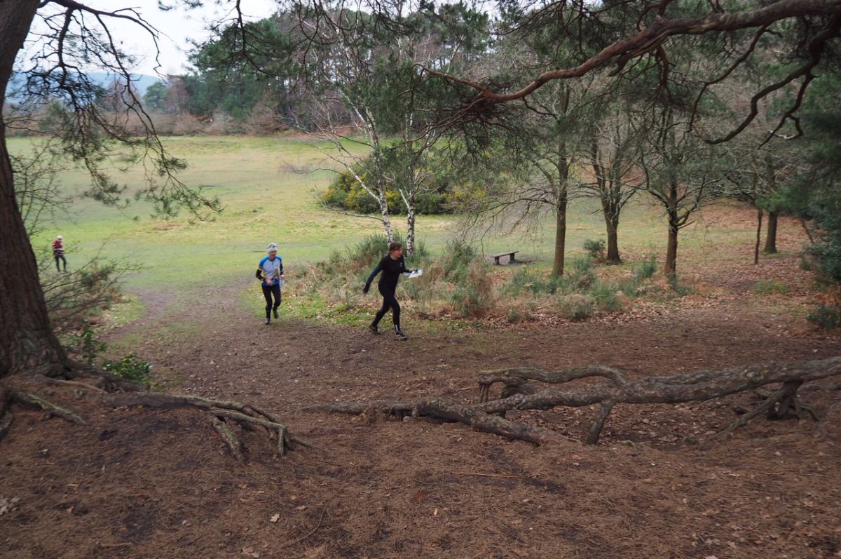
Photo Gallery
click/tap photos for a larger version