SOG 7Sullington WarrenSat 06 January, 2018

Near: Storrington
Level of event: Local
Type of event:
Race
Results
Report
Planner's Comments
I was trying to make the most of a small area without repeating the courses from the handicap.
I was a bit surprised about the times on the orange compared with the other courses! The winning times were a bit faster than usual for a SOG, but in the area given this were necessary
to avoid the courses repeating themselves too much. Tricky legs are a bit difficult in this
area. ?The green course was so popular that we ran out of maps. Thank you to John and Dave for
the car parking, and to those who gave up their green maps so everyone could run the course
that they wanted to, and thanks to Scarlet for helping out on the start and keeping the supply
of maps flowing. Thanks to the SI team Ralph Phillips, Les Coles and Mike Ralph for doing
their thing and coping with all the dogs that found their tent fascinating.?
Liam Marsh
RouteGadget
Is a web app for sharing and comparing orienteering routes. You can draw your own route or upload a GPS track from your watch. It also allows you to watch an animated replay with a simulated mass start.
SOG Series Info
SOGs are friendly club events where children and newcomers are very welcome. Yellow and Orange courses are suitable for children to run on their own with a bit of practice. Adults are welcome to shadow children until they are confident to go on their own. Green and Blue courses are run or walked by any age group - you can race competitively or just enjoy the woodland.
There are two series of events - autumn and spring of approximately 8 events each. Electronic timing (SI) is used.
Help on the day always appreciated.
Location Info
Nearest town: Storrington
- Postcode: *
- Lat,Lng:50.92100,-0.44611
- Grid Ref:
- Google Map
- Streetmap (OS 50k)
- Bing Map (OS 50k)
- OpenStreetMap
* Postcodes are not very precise in some areas, so don't rely on them for an exact location.
Directions / Parking
Parking at the Trinity Centre on Thakenham road. Once this parking is full competitors will be directed to overflow parking at Thakenham Primary School on Rock Road.
Public Transport
Nearest trains at Pulborough. Buses connect with Worthing Pulborough and Horsham.
Course Information
Yellow (1.5km), Orange (2.5km), Short Green (3.0km) Green (4.5km), Blue (6.0km).
Technical difficulty: Easy (yellow) to hard (Blue). See Planning Guidelines.
Participants in orienteering must wear appropriate clothing including full leg cover (not shorts). This is a standard rule of the sport to minimise the transmission of blood borne parasites. Activities in cold weather or poor conditions require layered clothing with a windproof and/or waterproof shell garment.
Entry Details
Pre-entry via Racesignup.co.uk Newcomers are welcome and eligible for a free trial session - if you'd like to reserve a map or discuss the event please email our membership secretary.
BOF member fees: Seniors £6.50, Juniors £3.25, SO Juniors free.
Non member fees: Seniors £7.50, Juniors £3.25.
'Dibber' hire:
Electronic punching (SI) chips are available to hire. SIAC (contactless): £2 (juniors £1), non-SIAC (not contactless) £1 (juniors £0.5)
Registration
From 9.45am - 10.45am (Please no latecomers!)
Start Times
From 10.00am - 11.00am. Courses close 12.30pm
Map Details
Scale 1:5,000 with 5m contours
Terrain Description
Complex path network through mixed woodland and fields, with some inclines.
Dog restrictions
Dogs allowed
Facilities
None
Contacts / Officials
Planner: Liam Marsh
Organiser: Penny Marsh
Controller:
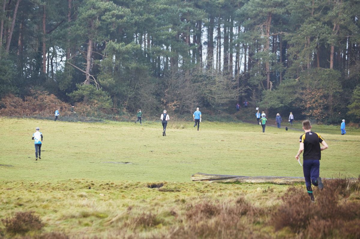
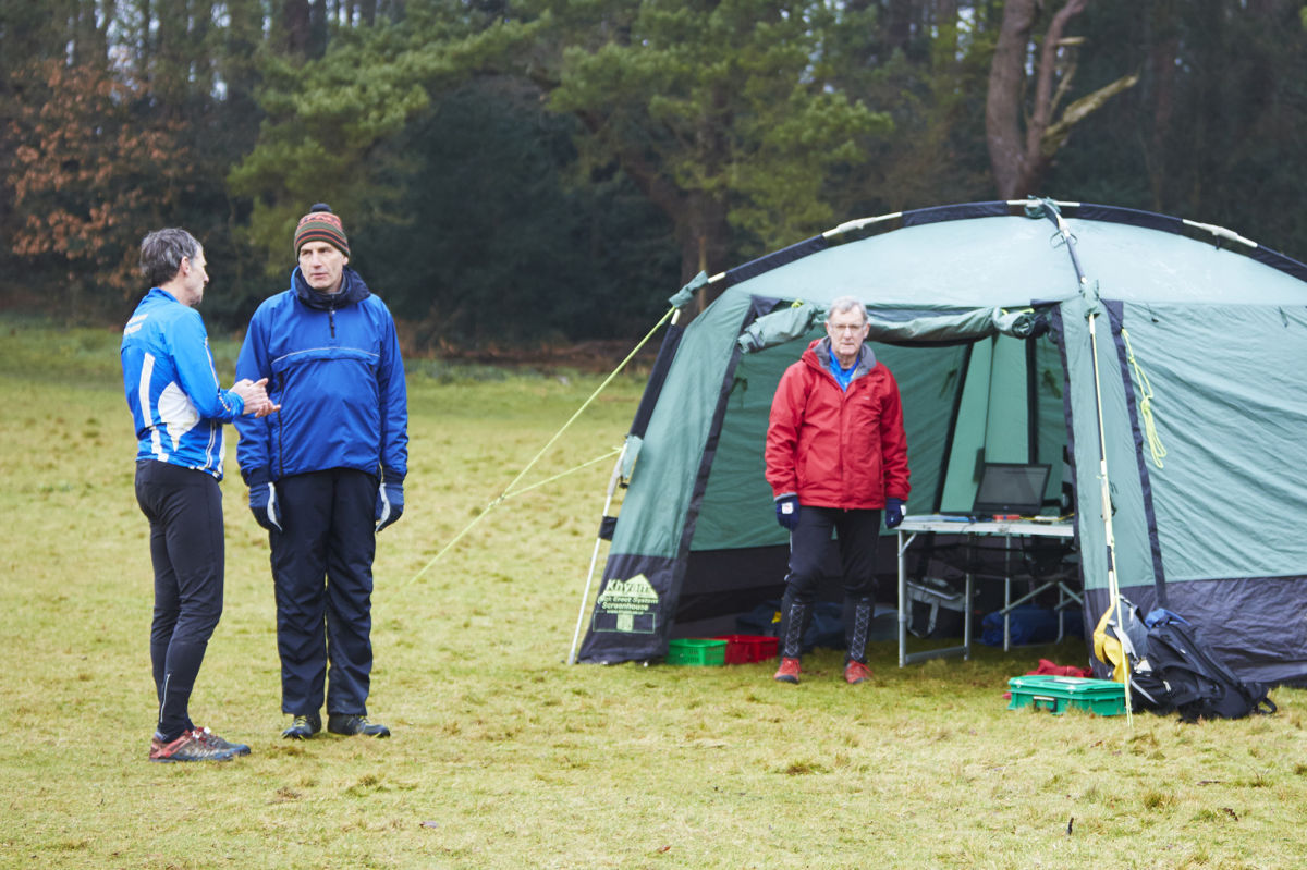
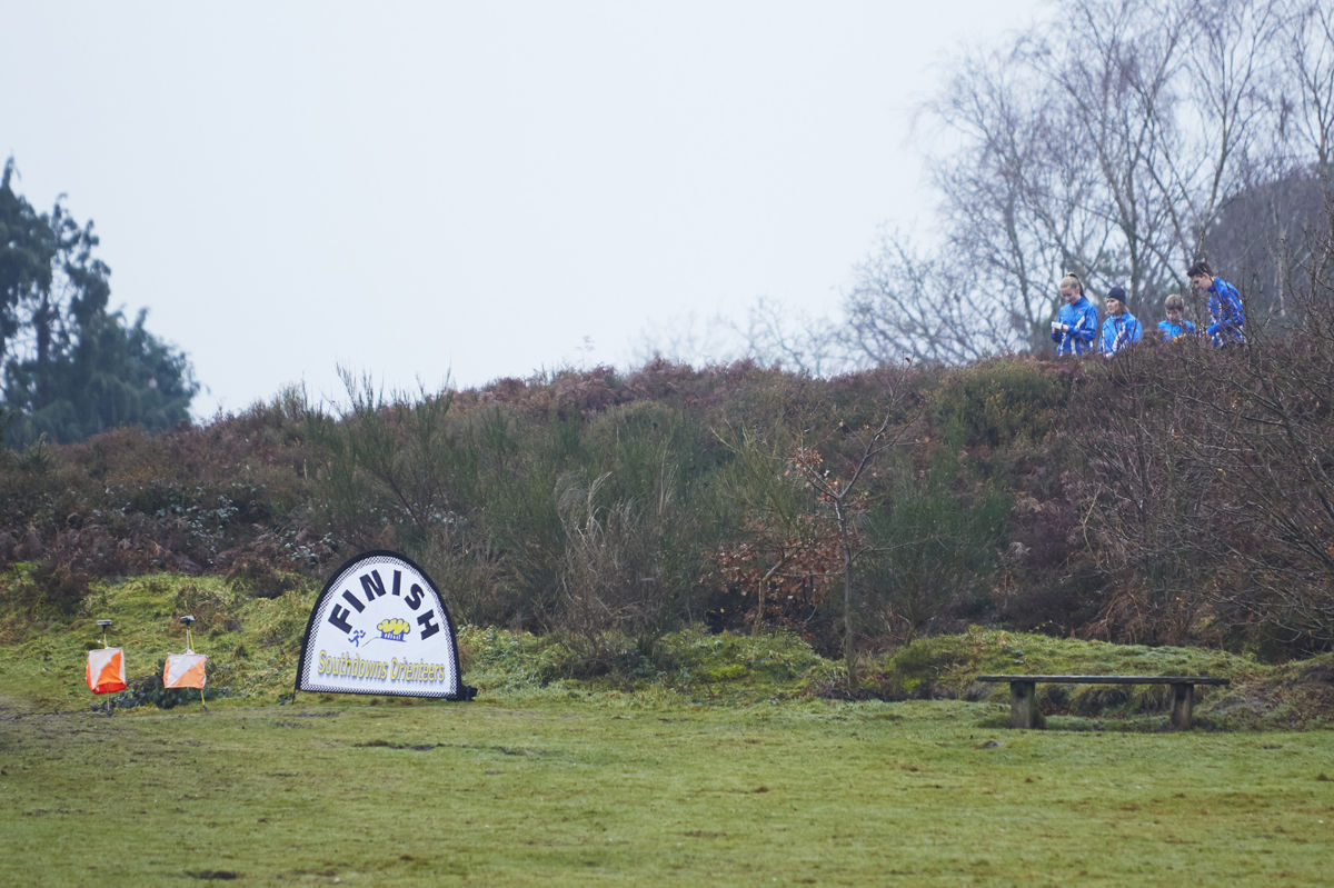
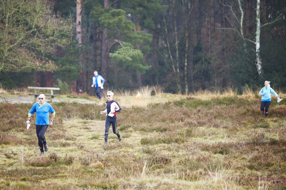
Photo Gallery
click/tap photos for a larger version