SOG S3Southwick Hill Sat 09 March, 2019
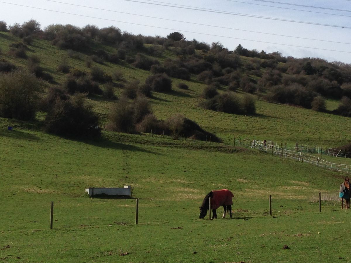
Lots of contours at Southwick Hill
Near: Portslade
Level of event: Local
Type of event:
Race
Results
Report
Planner's Comments
Thanks to everybody that raced up Southwick Hill today. I aimed to plan the courses so that you wouldn’t feel like you were running up and down the steep banks of the hill from beginning to end - although I do admit the first kilometre was certainly a long, albeit gradual, uphill stretch. I hope the start location at the lesser-used northern tip of the map was novel to those who’ve been to the area many times before though. Recent burning and high vegetation in other places meant the map wasn’t as accurate as it used to be - I tried to avoid the areas where this was particularly a problem, though unfortunately this meant simplifying some sections of the Green and Blue courses last minute to ensure there wasn’t too much confusion, particularly around the top plateau area in the middle of the courses. I’m sure most of you didn’t mind this though! I was impressed to see how many effortlessly conquered the long leg through the terrain toward the final loop of the courses. Perhaps next time I’ll have to be more devious! However I was pleased to hear the majority of you seemed to enjoy your races. A huge thanks to Kerria Rowan and Liam Marsh for map sales and, alongside Michael Merritt for helping put out/collect the controls, Robert Lines for checking the courses and printing the maps, Andy Hannaford for sorting out permissions, and Penny Marsh for setting up the finish. A big thank you to Mike Baron (and Steve Blount) for putting in time to organise us car parking and to Garry Greenstreet for helping him with this on the day. And as always a thank you also to the SI team - Ralph Phillips, Mike Ralph, Joe Barrett, Penny Parker and Paul Wilson for all your hard work at the event and uploading the results in record time; seeing the results almost immediately after getting home is fantastic. And to Mile Oak Farm for being so helpful and allowing us to have our assembly area within the farm.
SI Team
Thanks to Alex for interesting and enjoyable courses. Barrie Pearson found a hat and will bring it to the next event.
RouteGadget
Is a web app for sharing and comparing orienteering routes. You can draw your own route or upload a GPS track from your watch. It also allows you to watch an animated replay with a simulated mass start.
Pre event info
A preview of the event: Alex Lines has taken on the role of Planner for this Saturday’s SOG and I am acting as Controller. Unfortunately though I’m abroad on Saturday and will miss event. So, instead of the normal post event notes, here's a preview of the competition and a little about the process that we’ve gone through in developing the courses.
Alex has adopted the approach of identifying some decent legs and then connected these together to create an O-Loop – or a tour of the map. The approach in mainland Europe is often to take competitors on a proper tour of the map, and in particular avoiding dog-legs and long zig-zags back and forth across the terrain. Hopefully no legs should feel gratuitous to the competitor, and every leg should test particular skills. E.g. map reading, bearings, route choice or fine navigation etc.
For those interested in planning future events, Course Planning by Graham Nilsen is an excellent read. Details can be found by looking at the guidelines produced by Barry Elkington for White, Yellow, Orange and Green and Blue. Some of the guidelines are aimed at major events, but they can produce a good quality challenge for participants even at a local level.
The Southwick Hill map is a little out of date and this is mainly down to clearing work that has taken place in recent months. In the north of the map the clearing work appears to have taken place longer ago. For Yellow and Orange we have tried to update the map as necessary, but for Green and Blue this has not been fully possible except for the areas immediately around the control sites.
Runnability in the area is very good and the level of fine navigation required on the Green and Blue courses increases to make the latter stages of these courses quite a challenge. It’s been a definite pleasure running around checking control sites. (Though this judgement may have been affected by the all-day farm breakfasts I’ve managed to squeeze in on each trip. The café at Mile Oak Farm is worth a visit 😊.)
If you have any thoughts about the event or any feedback about the approach to planning then I would be delighted to hear from you.
Hope you enjoy the event
Robert Lines
SOG Series Info
SOGs are friendly club events where children and newcomers are very welcome. Yellow and Orange courses are suitable for children to run on their own with a bit of practice. Adults are welcome to shadow children until they are confident to go on their own. Green and Blue courses are run or walked by any age group - you can race competitively or just enjoy the woodland.
There are two series of events - autumn and spring of approximately 8 events each. Electronic timing (SI) is used.
Help on the day always appreciated.
Location Info
Nearest town: Portslade
- Postcode: BN41 2RF *
- Lat,Lng:50.85815,-0.23766
- Grid Ref:
- Google Map
- Streetmap (OS 50k)
- Bing Map (OS 50k)
- OpenStreetMap
* Postcodes are not very precise in some areas, so don't rely on them for an exact location.
Directions / Parking
Mile Oak Farm, Mile Oak Rd, Portslade, Brighton BN41 2RF. Grid Reference TQ242080. Please park as directed by marshals. £1.00/car donation to charity will be collected.
The start is 500m of the farm. Please follow tapes and signs along the farm track.
Course Information
- Blue - 19 controls, 5.1km, 190m climb
- Green - 16 controls, 4.4km, 165m climb
- Orange - 10 controls, 2.6km, 90m climb
- Yellow - 10 controls, 2.0km, 75m climb
Entry Details
BOF members fees: Seniors £4.00, Juniors £2.00, SO Juniors free. Non BOF member fees: Seniors £5.00, Juniors £2.00. SIAC (contactless): £2.00, non-SIAC (not contactless) £1.00.
Registration
9.45am - 10.45am
Start Times
10.00am - 11.00am. Courses close 12.30pm
Map Details
1:7,500 with 5m contours
Terrain Description
Downland with thickets and scattered trees.
Dog restrictions
Sorry no dogs allowed at this event.
Facilities
Farm cafe and animals.
Miscellaneous
Please be considerate when passing walkers, cyclists and horse riders
Safety Bearing - Walk east downhill to small road then follow back to parking
Contacts / Officials
Planner: Alexander Lines
Organiser:
Controller: Robert Lines