SOG 9Pashley & The WarrenSat 27 January, 2018
Near: Eastbourne
Level of event: Local
Type of event:
Race
Results
Report
Firstly, thanks for everyone for turning out. What a lovely morning we had and how much more pleasant the car park and registration area was than the previous two years! No howling gales - these were confined to the top.
From a planning perspective, it’s a tricky area, very physical in terms of climb and descent and pretty confined. There are lots of paths and varied blocks of vegetation. I tried to make the most of the latter and sought to provide courses that required competitors to stay in contact with the map and terrain, seeking to maximise route choice and the need to balance exertion against ability to concentrate. From the feedback I received both the location and the courses were well received and my objectives met.
Thanks for all those who helped, particularly Chris Hooker, who did a sterling job putting most controls out this morning. Chris, Peter, Amelia and Maddie for control collection. Einar, Mike and Tom for marshalling and car park duties. Anna and Amelia for map sales and Maddie for start duties. Oh and never forgetting Mike and Ralph with SI support.
Tim Bartlett
Planner
RouteGadget
Is a web app for sharing and comparing orienteering routes. You can draw your own route or upload a GPS track from your watch. It also allows you to watch an animated replay with a simulated mass start.
Pre event info
Please note that parking for this event is at the bottom of the hill rather than the top where it has been in previous years.
SOG Series Info
SOGs are friendly club events where children and newcomers are very welcome. Yellow and Orange courses are suitable for children to run on their own with a bit of practice. Adults are welcome to shadow children until they are confident to go on their own. Green and Blue courses are run or walked by any age group - you can race competitively or just enjoy the woodland.
There are two series of events - autumn and spring of approximately 8 events each. Electronic timing (SI) is used.
Help on the day always appreciated.
Location Info
Nearest town: Eastbourne
- Postcode: BN20 2LW *
- Lat,Lng:50.76135,0.26780
- Grid Ref: TV600982
- Google Map
- Streetmap (OS 50k)
- Bing Map (OS 50k)
- OpenStreetMap
* Postcodes are not very precise in some areas, so don't rely on them for an exact location.
Directions / Parking
From the west use the A259. Go through East Dean and climb onto the Downs, drop down East Dean Road into Eastbourne and at traffic lights at foot of hill turn right onto Summerdown Road. At bottom of Summerdown Road bend right onto Paradise Drove. In 1km turn left into Carlisle Road, immediately turn left into Gaudick Road, Turn right into Trevin Lower Car Park at University of Brighton.
Please note there are 27 places careful parking required. Otherwise there is free on street parking in the vicinity. Car sharing would be helpful.
Public Transport
Nearest rail station is Eastbourne 1km away
Course Information
Blue: 5.7km, Green 3.7km, Orange 2.6km and Yellow 2km
Entry Details
Pre-entry via Racesignup.co.uk Newcomers are welcome and eligible for a free trial session - if you'd like to reserve a map or discuss the event please email our membership secretary.
BOF member fees: Seniors £6.50, Juniors £3.25, SO Juniors free.
Non member fees: Seniors £7.50, Juniors £3.25.
'Dibber' hire:
Electronic punching (SI) chips are available to hire. SIAC (contactless): £2 (juniors £1), non-SIAC (not contactless) £1 (juniors £0.5)
Registration open
9:45 to 10:45
Start Times
10:00 to 11:00. Courses close at 12:30.
Map Details
Pashley and The Warren, 1:7500 surveyed in 2015 and updated 2016 by Chris Hooker. Recent updates January 2018.
Terrain Description
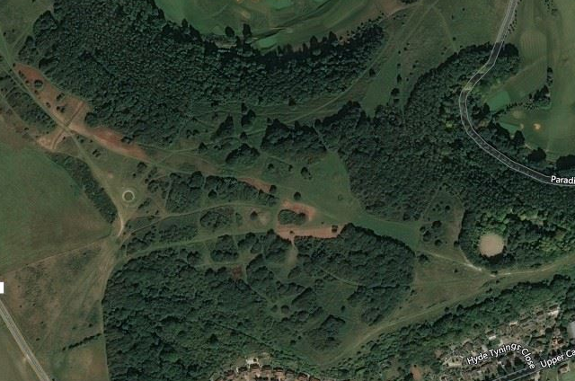
Mix of a complex patchwork of grassland, thickets, open woodland and ancient monuments, linked by network of paths. All on undulating scarp slope overlooking Eastbourne and the English Channel. Courses seek to stay away from steepest slopes, but the area provides opportunity to practice use of contours and there are steep ascents/descents.
Some paths are muddy and given nature of slopes suitable foot wear advisable and if windy and wet runners need to be sure that they will be warm enough
Dog restrictions
Dogs allowed
Facilities
None provided. But there may be toilets and a cafe at the Brighton University. Please change your footwear if you are using these facilities please.
Miscellaneous
Note that the start and finish areas and registration/download tent are approximately a 200 to 300m walk from the car park. Access is initially along the pavement and then along the South Downs Way Public Bridleway. The route to the start will be taped. Please sue the taped route. It is necessary to cross both Gaudick Road and Paradise Drive. Please take care. Please note start and finish are close to each other. Please download before leaving the Warren and returning to your car.
Contacts / Officials
Planner: Tim Bartlett
Organiser:
Controller: