SOG A2 North Ashdown Sat 10 October, 2026
Near:
Wych Cross
Level of event:
Local
Type of event:
Race
Results
Report
Lost Property: A blue XL waterproof jacket was handed in. Please contact [email protected]
First of all I’d like to apologise for control 117 (2 on Short Green and 5 on Blue). It was incorrectly sited 75m SW of where it should have been, 3 contours higher up the hill. To make things worse, I’d taped the correct control site on an earlier visit to the terrain, hence the white tape with 117 on the distinctive tree that the control should have been on that some of you noticed. Obviously the legs either side of this control have been removed from the results, but that doesn’t make up for the frustration and wasted energy that some of you experienced. Lesson learned for me - I think once I’d decided I’d put the control in the correct place, I stopped double checking, and didn’t capitalise on subsequent opportunities to pick up on my mistake.
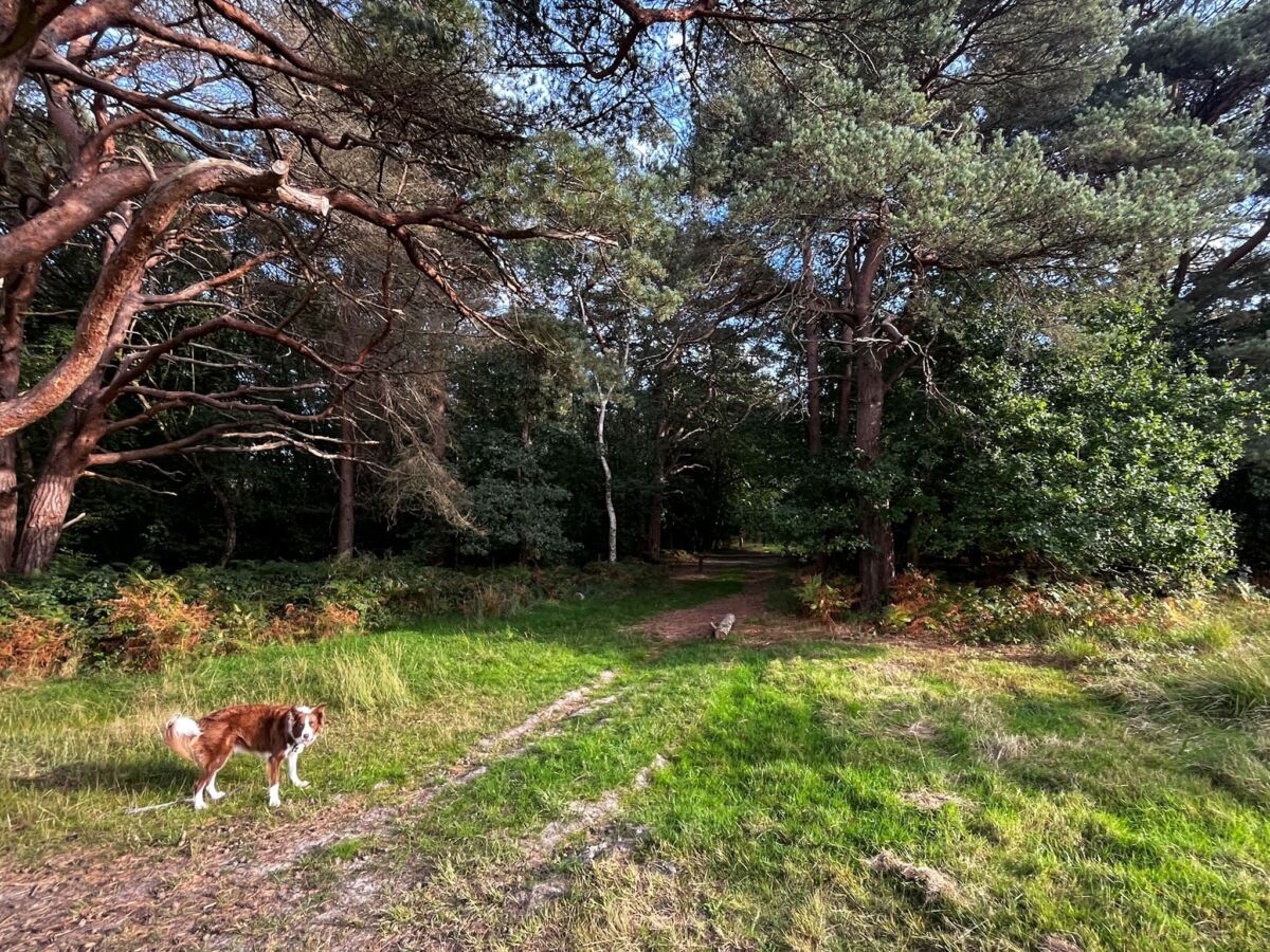
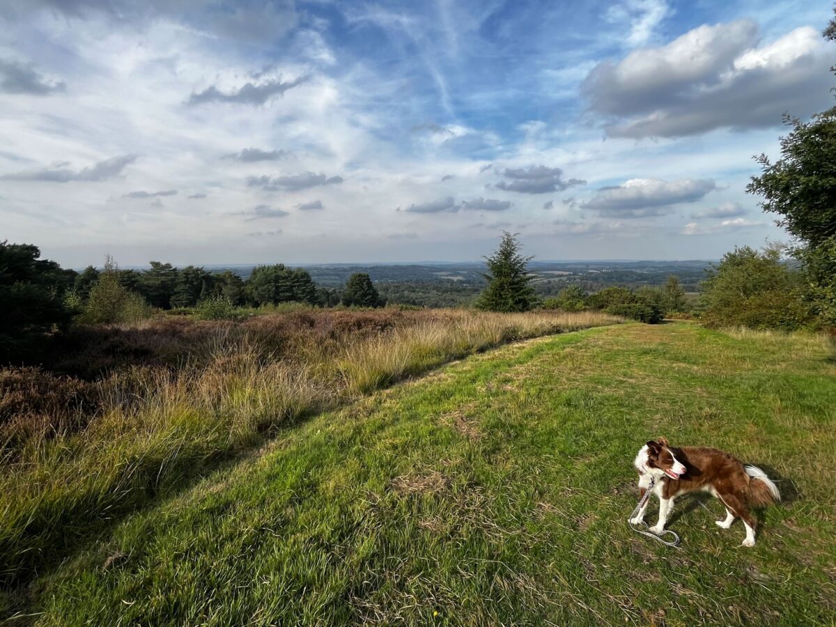
That apart, I hope you enjoyed being out on Ashdown in glorious Autumn sunshine. It was certainly a joy to be out with Otis at 7am with only deer and squirrels for company as we woke up the SI units to a beautiful sunrise. Unfortunately the bracken is still very high following prolific growth over the summer - I tried to avoid the worst bits, but combined with the tussocks, brambles and contours, it was pretty tough going in places. It’s not easy to fit in Yellow and Orange courses as the path network covers a relatively small section of the area, hence controls quite close together and relatively short overall distance - I hope competitors on these courses still found enough (but not too much) challenge!
Chris Hooker did a sterling job with the map bringing order to chaos, and I’m indebted to Will Heap for his helpful suggestions as Event Advisor (and to Stan for running some of the courses!). Thanks as ever to the efficient and always cheerful SI team (Joe, Penny, Jane, and Samantha), the tireless control collectors (Liam, Euan, Chris, and Garry), and a second mention to Garry for sorting Routegadget - it would be great to see which way you went if you have a moment to post your routes!
Alan Velecky
RouteGadget
Is a web app for sharing and comparing orienteering routes. You can draw your own route or upload a GPS track from your watch. It also allows you to watch an animated replay with a simulated mass start.
SOG Series Info
SOGs are friendly club events where children and newcomers are very welcome. Yellow and Orange courses are suitable for children to run on their own with a bit of practice. Adults are welcome to shadow children until they are confident to go on their own. Green and Blue courses are run or walked by any age group - you can race competitively or just enjoy the woodland.
There are two series of events - autumn and spring of approximately 8 events each. Electronic timing (SI) is used.
Help on the day always appreciated.
Location Info
Nearest town: Wych Cross
- Postcode: RH18 5JP *
- Lat,Lng: 51.07250,0.04683
- Grid Ref: TQ434323
- Google Map
- Streetmap (OS 50k)
- Bing Map (OS 50k)
- OpenStreetMap
* Postcodes are not very precise in some areas, so don't rely on them for an exact location.
Directions / Parking
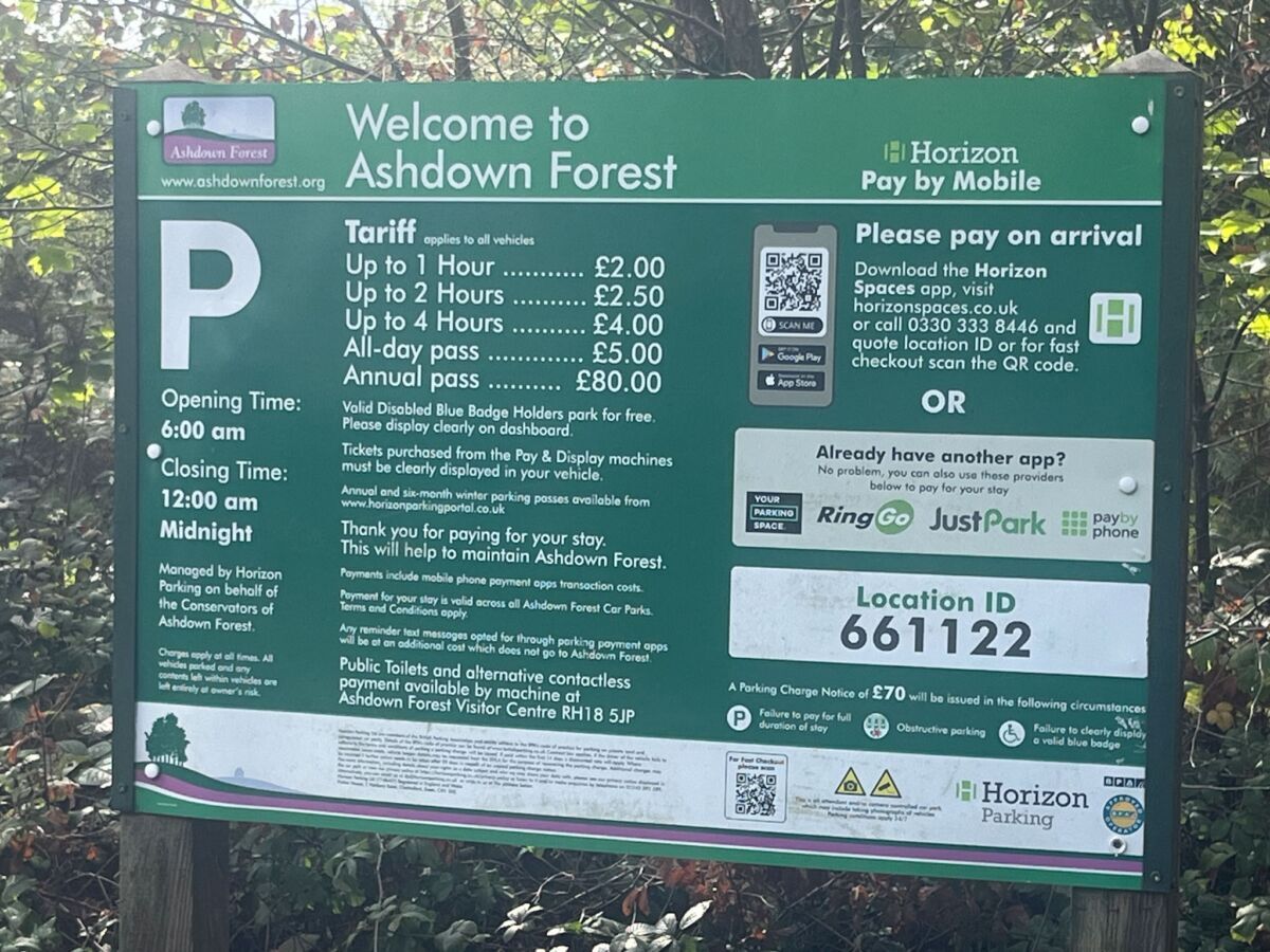
Pay by Phone parking for the event will be in Broadstone Car Park, 300m east of Ashdown Forest Centre on Colemans Hatch Road.
what3words: broken.remaining.whistling.
See photo for parking charges. Please park tidily as space is limited.
Parking is not permitted on the roadside verges.
Public Transport
By bus:
The Ashdownlink 262 is a Saturday community bus service which takes passengers from Uckfield, Maresfield, Buxted and Hartfield to the heart of the Ashdown Forest.
Click the link here to view the timetable.
Course Information
Blue: 4.9k, 145m climb, 17 controls
Green: 3.7k, 105m climb, 12 controls
Short Green: 2.6k, 80m climb, 10 controls
Orange: 2.0k. 80m climb, 10 controls
Yellow: 1.3k, 45m climb, 11 controls
Blue, Green and Short Green courses have a timed out road crossing (maximum 2 minutes). This will not be manned or taped, so please ensure any juniors on these courses are safe to cross a main road with infrequent but sometimes fast traffic (speed limit is 40 mph but this is
not always adhered to). There are good sight lines at the crossing point, please take care, and remember 2 minutes will give you plenty of time to cross safely without taking any risks.
Competitors must not run along the main road at any point. It is marked on the map using overprinted X symbols to signify that it may not be used.
There are also a number of tracks serving private houses within the competition area with slow moving traffic, please take care when
crossing any tarmac access roads.
There are 2 Finishes. The one for Yellow and Orange is located close to the car park on the north side of the main road. The one for Blue, Green and Short Green is located on the south side of the main road, and involves crossing the main road to return to the car park. Please take care crossing the road.
Safety bearing - Blue to Short Green: South to road before crossing, North to road after crossing. Orange and Yellow: South to road
Entry Details
Pre-entry via Racesignup.co.uk Newcomers are welcome and eligible for a free trial session - if you'd like to reserve a map or discuss the event please email our membership secretary.
BOF member fees: Seniors £6.50, Juniors £3.25, SO Juniors free (use code SOjuniors).
Non member fees: Seniors £7.50, Juniors £3.25.
If shadowing a junior or going as a family group with one map and one dibber, just enter one junior.
'Dibber' hire:
Electronic punching (SI) chips are available to hire. SIAC (contactless): £2 (juniors £1), non-SIAC (not contactless) £1 (juniors £0.5)
Registration open
9:45 to 10:45
Start Times
10:00 to 11:00. Courses close at 12:30.
Map Details
1:10,000, 5m contours. New map, summer 2026 survey by Chris Hooker using Lidar data. Minor Planner updates to September 2026.
Note that all blue features on the map are currently dry.
Terrain Description
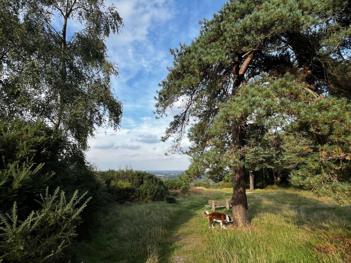
One of the club’s finest areas, used in the past for Regional events. Mixture of undulating forest and open heathland with intricate path network and some interesting contour detail and earthworks. Summer bracken growth is still high, the densest areas are shown using green hatching, and have been avoided as much as possible. Other areas have tussock grass which can make going slow. The shorter course lengths than usual reflect the tough underfoot conditions.
Dog restrictions
Well behaved dogs are welcome. Always ensure your dog is in sight and comes back when called. If you are not totally confident of your dog’s recall, use a lead. Please pick up after your dog at all times.
Facilities
See Ashdown Forest centre website.
Miscellaneous
Conservation of the Forest
Ashdown Forest, as many of you will know, is a very special place. It is managed by the Board of Conservators of Ashdown Forest, an
independent body. In recognition of the ecological importance of Ashdown Forest and to ensure its protection, it is designated as a
European Natura 2000 site and as a Site of Special Scientific Interest under UK legislation. Ashdown Forest is also within the High
Weald Area of Outstanding Natural Beauty.
The Conservators have duties laid down by statute which include the following:
• To regulate and manage the forest as an amenity and place of resort
• To conserve it as a quiet and natural area of outstanding beauty
The Conservators are keen to raise the public’s (and hence our) awareness of their legal duty and, within this, their aim of balancing the interests of all users of the forest.
Please have particular regard therefore to the other users of the area, including all walkers, dog walkers and riders, all of whom are
also seeking to enjoy their activities peacefully. Slow to a walk, keep especially quiet and keep a wide berth at any point where you meet horse riders.
Contacts / Officials
Planner: Alan Velecky
Organiser:
Controller / Event Adviser:
Photo Gallery
click/tap photos for a larger version