Rewell NESun 13 October, 2019
Rewell NE - They're Off!!
Credit:
Peter C
Near: Arundel
Level of event: Regional
Type of event:
Results
Report
Wet and brambly but great fun.
Not surprising but Phew that was a hard early morning, why do planners put controls down a step slope and the next control at the highest point on the course. At my age I must stop doing that. Many volunteers helped to put on this event, shame that only 110 took part. Must come up with a plan to try and generate more interest. Competitors mostly gave favourable comments on their courses they competed over, though no one ran on the yellow course.
Apologies for a delay at the start but some controls had failed to operate and had to be reset and one replaced. It was my decision to delay the start to ensure all competitors had good working controls to record their run. The delay was 15 minutes.
Many thanks to Garry Phillips and Chris Taylor for setting out some of the controls it took a great deal of pressure off my shoulders.
To volunteering members of Southdown Orienteering club, organised by the Taylor family, 28 in total who gave their valuable time to this event, to ensure competitors could enjoy their day out at Rewell. Once again many thanks.
Planner
Ralph Phillips
RouteGadget
Is a web app for sharing and comparing orienteering routes. You can draw your own route or upload a GPS track from your watch. It also allows you to watch an animated replay with a simulated mass start.
Pre event info
Come along to our regional event with courses from 1.6km to over 9km. The area offers a variety of challenging terrain, encompassing a slope of ancient yew woodland, chalk downland and a varied commercial woodland.
It’s proximity to the thriving historic town of Arundel gives the opportunity for a day out with a visit to Arundel Castle or WWT Arundel Wetland Centre. Entries on the day whilst maps remain available.
Regional Series Info
Open to everyone. These events offer a larger range of colour coded courses (including the usual yellow, orange, green, blue) and attract a wider group of people from different clubs. Regional events often offer a white course which is easier than a yellow and ideal for juniors wishing to try it on their own for the first time as there should be a control at every decision point. Seven colours are used with each representing a certain level of difficulty (both technical and physical). The darker the colour, the longer and harder the course.
Location Info
Nearest town: Arundel
- Postcode: *
- Lat,Lng:50.85988,-0.60540
- Grid Ref:
- Google Map
- Streetmap (OS 50k)
- Bing Map (OS 50k)
- OpenStreetMap
* Postcodes are not very precise in some areas, so don't rely on them for an exact location.
Directions / Parking
From the west: travelling east along the A27 from the roundabout A27/A29 continue along the A27 for approximately 3km and turn left into the Paddocks at Grid Ref SU983072. Follow orienteering signs to parking area SU 988085.
From the east: travelling along the A27 from Arundel to the roundabout A27/A29 return east from this roundabout to the Paddocks as above.
Exit onto the A27 is only one-way towards the east on the busy, fast moving A27 so please exit with care.
There will be countdown of signs from 300m to 100m before the turning left onto the track leading to controlled parking. It’s a concealed entrance so please start signaling as soon as you see the signs as this is a very busy, fast stretch of the A27. Other road users need to be warned that you are slowing down to turn into the event.
Public Transport
Arundel railway station 4km, Barnham railway station 5km
Course Information
From registration the Distance to the start 250 mts and finish to download 150 mts
Brown 8.7kms climb 195m
Blue 6.8kms climb 130m
Green 4.9kms climb 100m
S Green 3.8kms climb 55m
Lt Green 4.7kms climb 55m
Orange 3.1kms climb 40m
Yellow 2.2kms climb 25m
White 1.9kms climb 20m
Entry Details
Pre-enter on Fabian4
From 30/09/19 until 11/10/19 Seniors: SO and BOF members £11 others £12.
Entry on the Day Seniors: SO and BOF members £12 others £13.
Juniors throughout: SO free, others £3;
SIAC dibber hire £2 others £1. Additional maps £0.50
Registration
From 9.45am - 1145am
Start Times
From 10.00am - 12.30pm. Courses close 14.00pm
Map Details
Rewell Woods, updated by Roger Maher April 2017. Scale 1:10,000, A4. Minor updates by planner.
Terrain Description
Mixed runnable and slow run undulated forest with a good network of tracks. The nature of the blocks of wood can vary considerably, with some mature coppiced sections and other areas of wood that have been recently thinned. There are also a couple of clear felled areas that are very rough and courses have been planned to avoid these.
Dog restrictions
Yes but be aware that local dog walkers use the area.
Facilities
Toilets on site. Basic first aid available at registration.
Contacts / Officials
Planner: Ralph Phillips
Organiser: Dave Taylor
Controller: Mike Murray
Photo Gallery
click/tap photos for a larger version
View of Finish area from Assembly
Credit:
Peter C
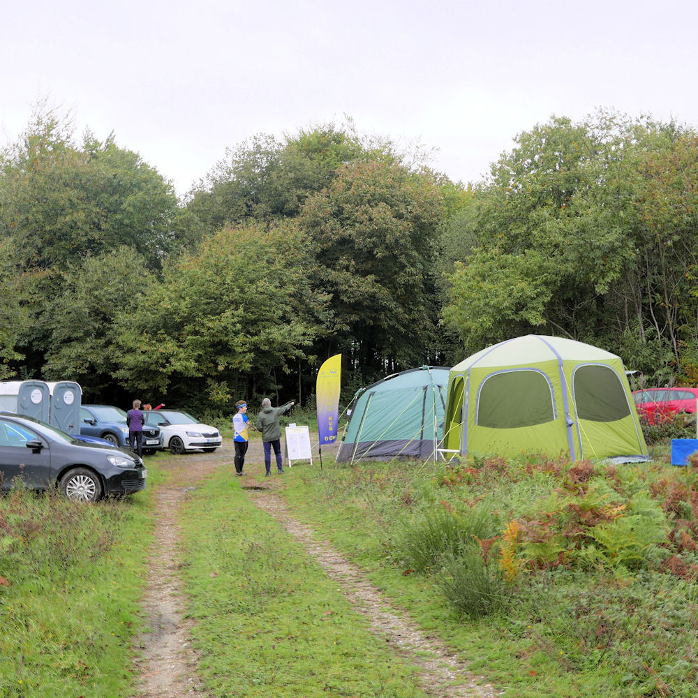
Assembly Area
Credit:
Peter C

Chatting outside Download Tent
Credit:
Peter C
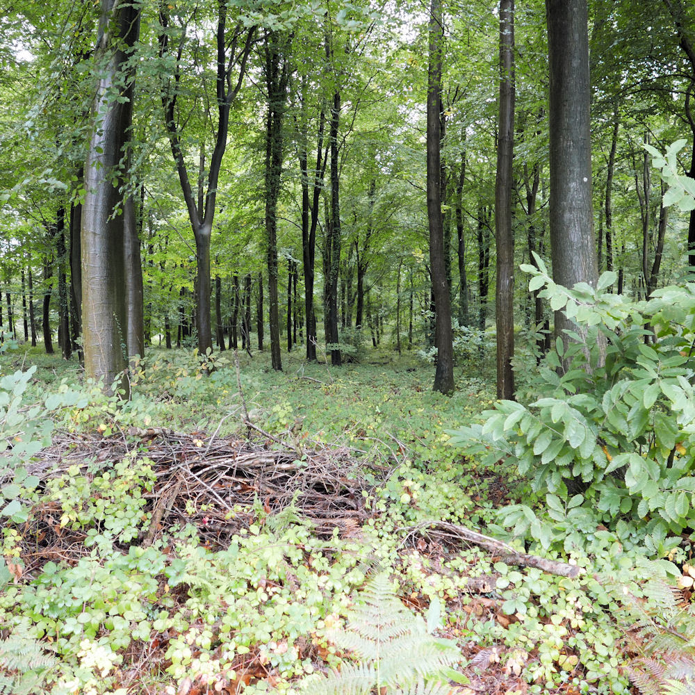
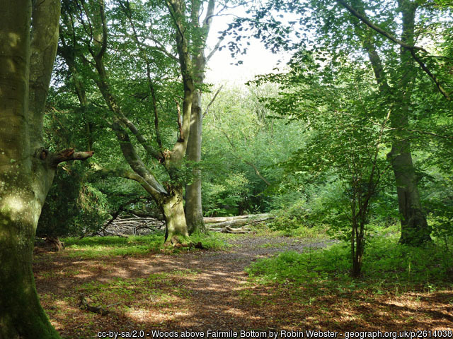
Re-entrant in Forest
Credit:
Peter C

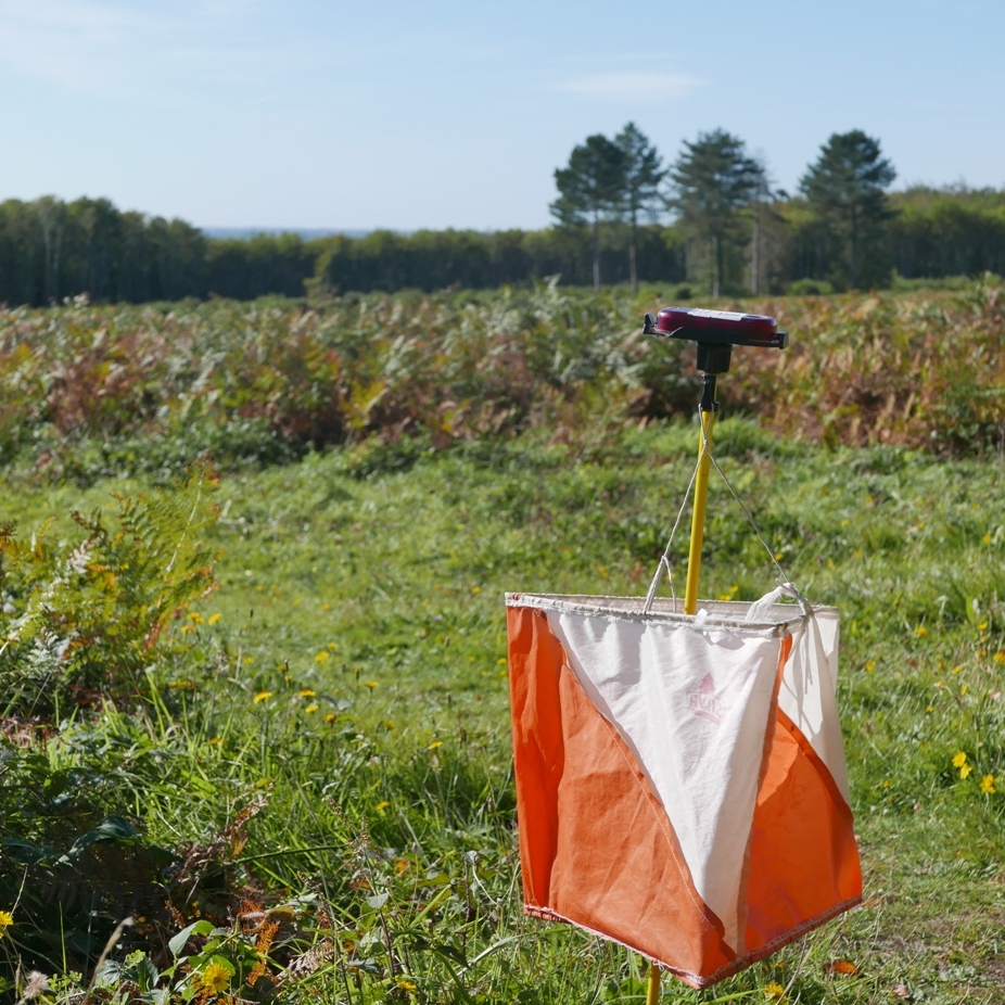
Fast away from the map boxes at the Start
Credit:
Peter C
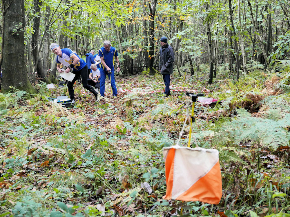
Start Action 1
Credit:
Peter C
Start Action 2
Credit:
Peter C

Finish (waiting for customers!)
Credit:
Peter C
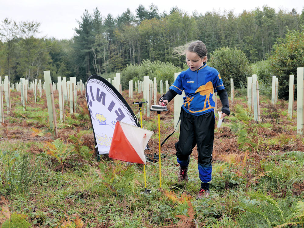
White Course Finisher
Credit:
Peter C
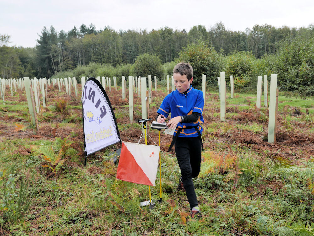
Orange Course Finisher
Credit:
Peter C
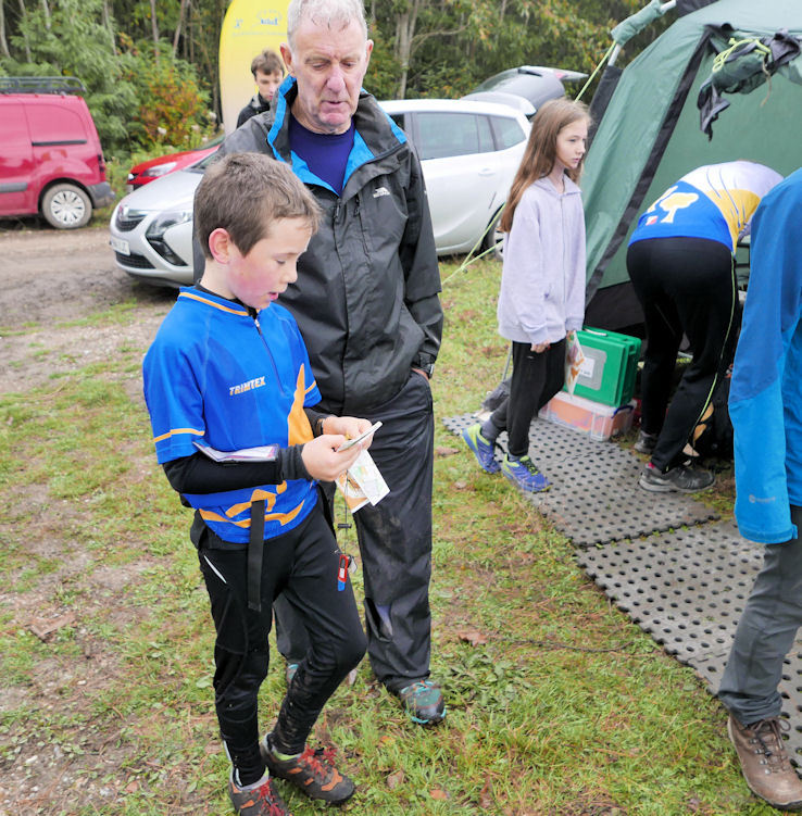
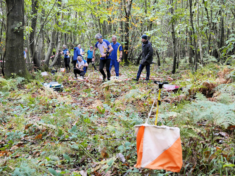
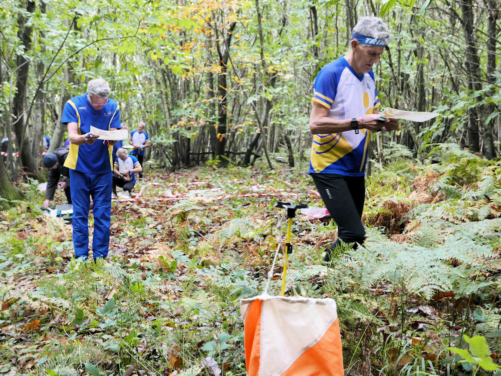
Course Recap with Planner
Credit:
Peter C