Regional Level CRewell NESun 07 October, 2018
Near: Arundel
Level of event: Regional
Type of event:
Race
Results
Report
Post this event the one big change I should have made to the map was to change the 2 large vegetation areas from open land to undergrowth: slow running; so apologies to those who were caught out and put a minute or two on their time. I made approximately 15 changes to the vegetation and feature symbols. All the other comments I received from some competitors about the vegetation changes I had not travelled through as the planner and therefore was not aware of these changes on the ground.
For the 4 hours I spent in the woods putting out controls was made worth while by the 162 competitors that took part in this event and were generally happy competitors. During darkness I got lost in the woods for 20 minutes, which did not help. The planning of this event was made much more difficult by a great chunk of the area being put out-of-bounds after spending a day confirming control sites, a wasted day. Though I believe there was enough challenge within the event to make competitors think while running and the finishing times for the top runners on their courses was about the times I was planning for.
Many thanks for the Taylor family group who organised this event and arrange the following support:
Controller: Mike Murray SLOW many thanks for your support and guidance.
Car parking: John Morris, Kev Goddard, Jack Kosky, Mark Chapman, Barrie Pearson and Chris Taylor.
EOD: Brian Taylor and Hannah Taylor
Start: Les Hooper, Joe and Carol House, Nick Hockey, Chris Hooker, Peter Chapman, Mike Taylor, Gavin Hurley and Hannah Taylor.
First Aid: Anna Bartlett, Ian Goodwin, Sylvia Coles and Anna Chapman.
Finish: Trudie Taylor
Control collectors: Mike Taylor, Dave Taylor, Chris Taylor, Chris Hooker, Ralph Phillips and an especial thank you to Ed Cox and Alan Velecky for collecting the furthest away controls.
SI Team: Joe Barrett, Les Coles and Bridget Hooper.
Ralph Phillips
Planner
RouteGadget
Is a web app for sharing and comparing orienteering routes. You can draw your own route or upload a GPS track from your watch. It also allows you to watch an animated replay with a simulated mass start.
Pre event info
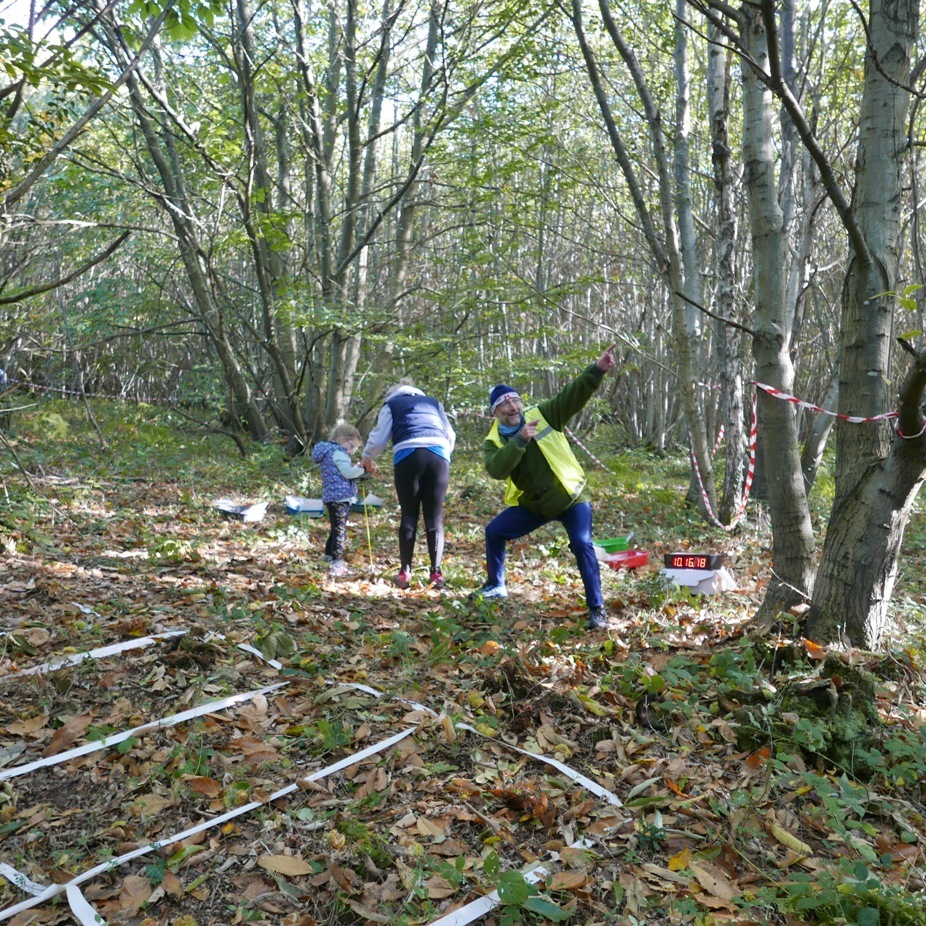
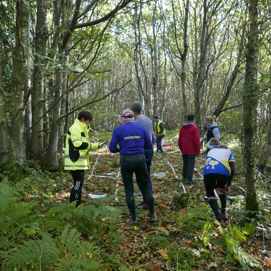
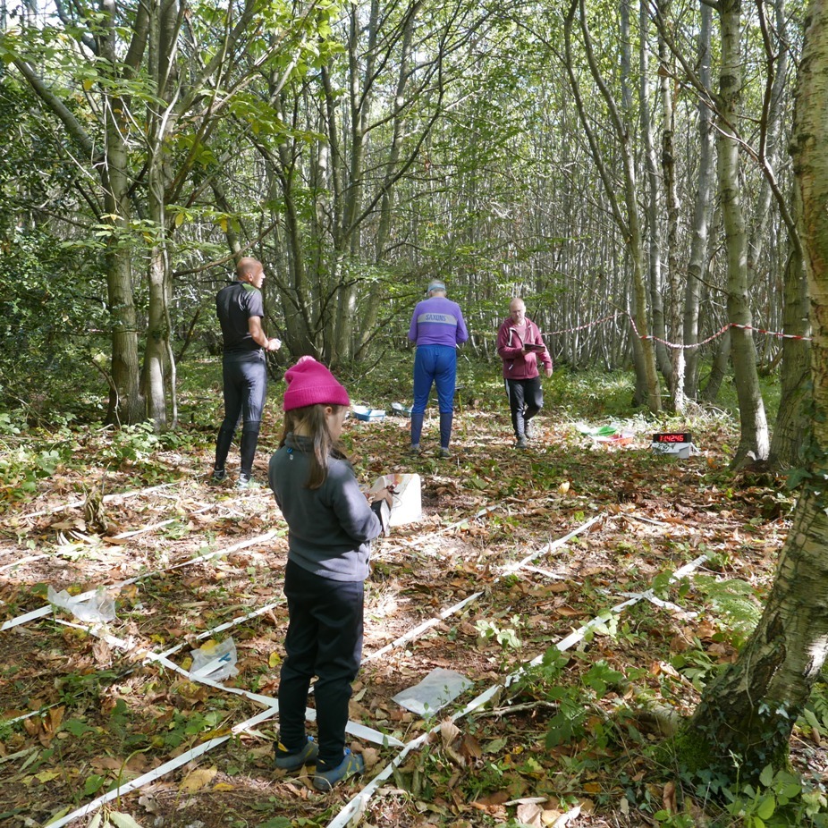
Photos added to the gallery. Comments coming soon ...
Regional Series Info
Open to everyone. These events offer a larger range of colour coded courses (including the usual yellow, orange, green, blue) and attract a wider group of people from different clubs. Regional events often offer a white course which is easier than a yellow and ideal for juniors wishing to try it on their own for the first time as there should be a control at every decision point. Seven colours are used with each representing a certain level of difficulty (both technical and physical). The darker the colour, the longer and harder the course.
Location Info
Nearest town: Arundel
- Postcode: BN18 0AJ *
- Lat,Lng:50.85680,-0.60526
- Grid Ref:
- Google Map
- Streetmap (OS 50k)
- Bing Map (OS 50k)
- OpenStreetMap
* Postcodes are not very precise in some areas, so don't rely on them for an exact location.
Directions / Parking
From the west: travelling east along the A27 from the roundabout A27/A29 continue along the A27 for approximately 3km and turn left into the Paddocks Grid SU983072. Follow orienteering signs to parking area.
From the east: travelling along the A27 from Arundel to the roundabout A27/A29
return east from this roundabout to the Paddocks as above.
Parking will be along tracks east of OOB clay pigeon shooting area.
Public Transport
Nearest railway stations – Barnham – approx 3kms
Course Information
Brown 10,2km, Blue 7.1km, Green 5.1km, Sh Green 3.4 km, Orange 3.0 km, Yellow 2.3 km and White 1.6 km subject to final controlling.
Entry Details
Please see event flyer for entry fees and price change dates: Flyer 3
Enter online at: http://www.fabian4.co.uk/
Entry on the day will be available, subject to map availability.
'Dibber' hire:
Electronic punching (SI) chips are available to hire. SIAC (contactless): £2, non-SIAC (not contactless) £1
Registration
From 9.45am – 11.15am.
Start Times
Starts between 10.00am and 12.00noon. Courses close 14.00pm. Turn up and run if pre-registered.
Map Details
Rewell NE 1:10,000 was newly extended in 2017 by Roger Maher to include some significant valleys and contour features in the north eastern region. Minor updates have been made in 2018. Courses planned to use this interesting area.
Terrain Description
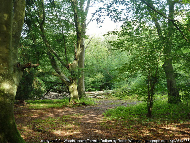
The area offers a variety of challenging terrain, encompassing a slope of ancient yew woodland, chalk downland and a varied commercial woodland.
Dog restrictions
Dogs allowed.
Facilities
Cake stall - The Great British Bake-O!
There will be a junior squad cake stall at this event. All cakes will be sold in aid of the junior squad. We're saving up for a training weekend in the near future.
Portaloo toilets on site at the admin area. Basic first aid available at registration.
Nearby Arundel offers lots of post event options. Arundel Castle or WWT Arundel Wetland Centre are well worth a visit.
Miscellaneous
Contact: Ralph Phillips 07818057784 si@southdowns-orienteers.org.uk
Contacts / Officials
Planner: Ralph Phillips
Organiser: Dave Taylor
Controller: Mike Murray
Photo Gallery
click/tap photos for a larger version