GPS Orienteering
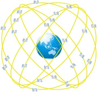
As of today (May 13th) we are allowed to travel further afield to participate in solo outdoor exercise. Although it will be some time before organised events as we know them will take place again the club has, and will continue to, set up some alternatives. A number of MapRun courses have already been devised - these are designed to be used with a GPS-enabled smartphone App and tell you when you have reached the control point. Some early participants have found that phone GPS reception can be problematic and significantly worse than the watches that many of us use. As an alternative to using a phone you can just record your route with a watch and then email the club captain who can manually upload a .gpx file.