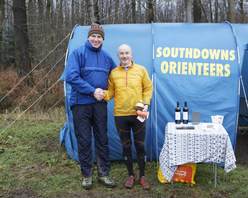
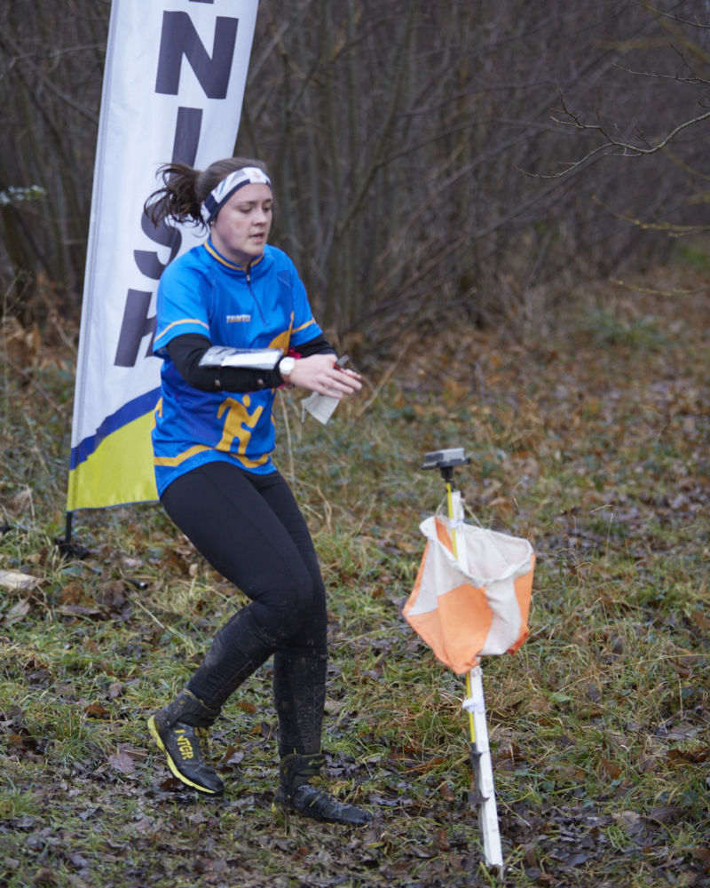
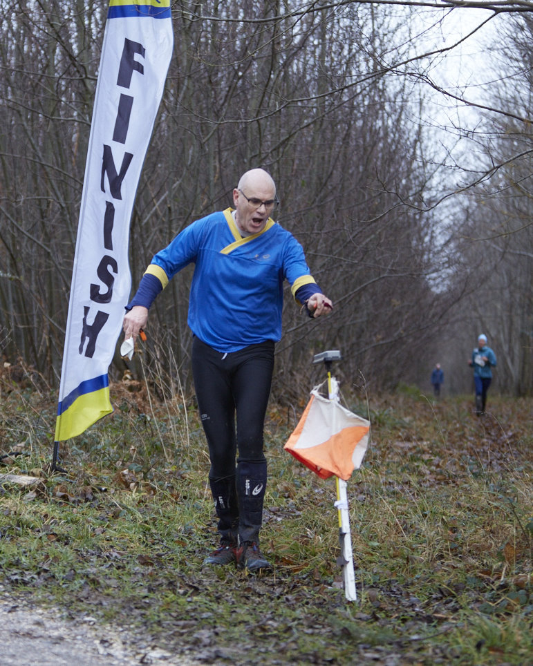
Xmas Score Rewell Wood Wed 27 December, 2017
Near:
Arundel
Level of event:
Local
Type of event:
Score, Social
Results
RouteGadget
Is a web app for sharing and comparing orienteering routes. You can draw your own route or upload a GPS track from your watch. It also allows you to watch an animated replay with a simulated mass start.
Location Info
Nearest town: Arundel
- Postcode: *
- Lat,Lng: 50.85517,-0.55512
- Grid Ref:
- Google Map
- Streetmap (OS 50k)
- Bing Map (OS 50k)
- OpenStreetMap
* Postcodes are not very precise in some areas, so don't rely on them for an exact location.
Directions / Parking
Details to follow
Course Information
Details to follow
Entry Details
Details to follow
Start Times
Details to follow
Contacts / Officials
Planner: Ralph Phillips
Organiser: Will Heap
Controller / Event Adviser:
Photo Gallery
click/tap photos for a larger version
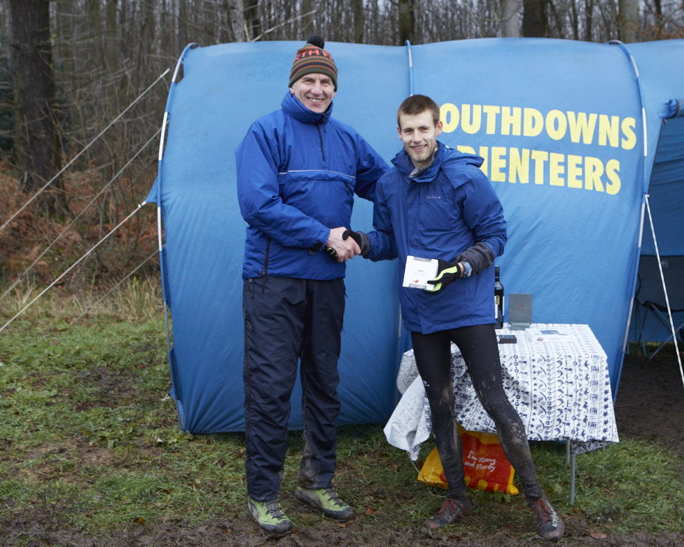

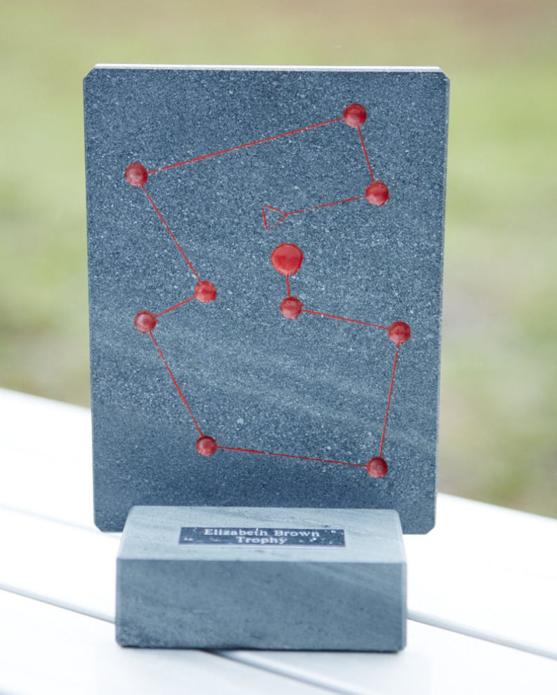
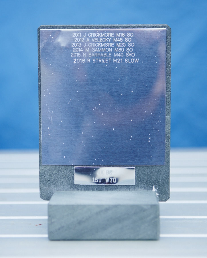
The coveted Elizabeth Brown Christmas Score Trophy