Level C Preston Park Sprint Sat 20 December, 2025
Near:
Brighton
Level of event:
Regional
Type of event:
Race, Juniors
Results
Report
First of all, I would like to thank Controller Sue Crickmore and Organiser Robert Lines, whose expertise and patience were key to the running of this winter sprint-o. I would also like to thank volunteers Joe, Penny, Sam, Jane, and Alan, as well as my mother Clare, my sister-in-law Kerria, and her husband Alexander.
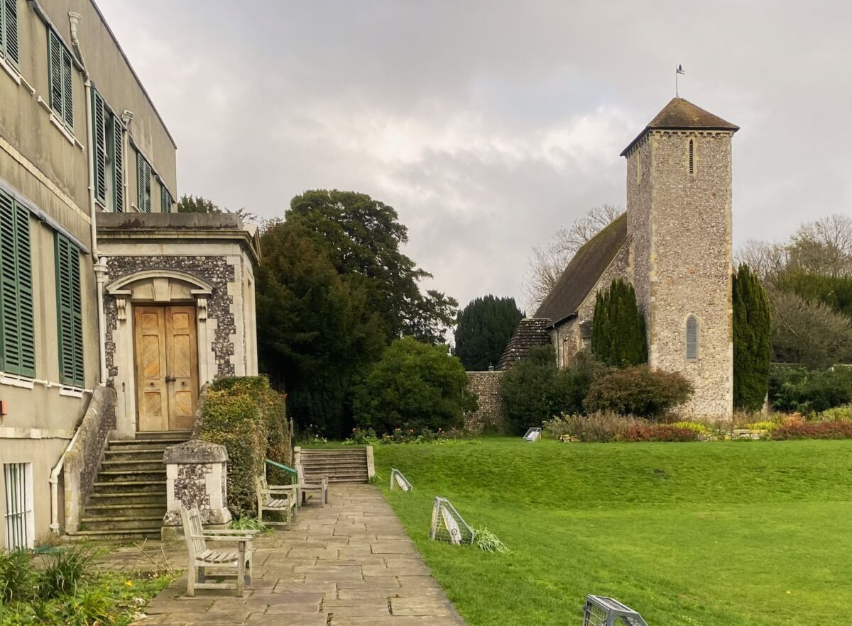
Additionally, I would like to thank Preston Manor and St Peter’s Church, who gave permission that allowed us to extend the map in the north-west, providing more opportunities for legs with route choice and complexity.
Thanks,
Ed
Organiser’s thanks
We had a great team for this morning’s race. Thanks to: Edward Lines for planning and mapping; Sue Crickmore for controlling; Clare Lines, Jane Lambert, Kerria Lines and Alex Lines for Starts; Joe Barrett, Samantha Gibson and Penny Parker for SI; Garry Greenstreet for Routegadget; and Alan Velecky, Alex, Kerria and Edward Lines for control collecting.
Rob.
RouteGadget
Is a web app for sharing and comparing orienteering routes. You can draw your own route or upload a GPS track from your watch. It also allows you to watch an animated replay with a simulated mass start.
Pre event info
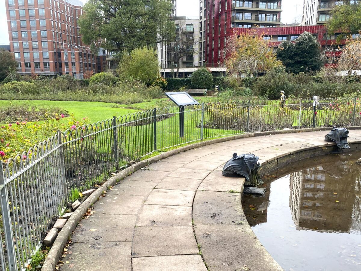
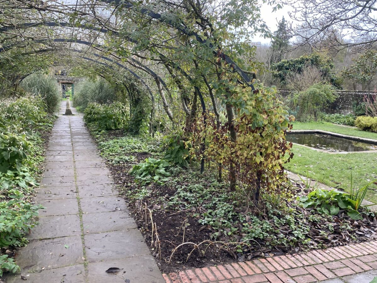
A Sprint race with courses visiting Preston Park, Preston Manor and St Peter's Church, Preston Park. Thanks to Brighton & Hove City Council, The Royal Pavilion & Museums Trust and The Friends of St Peter's for permissions.
Location Info
Nearest town: Brighton
- Postcode: BN1 6LA *
- Lat,Lng: 50.84398,-0.14599
- Grid Ref:
- Google Map
- Streetmap (OS 50k)
- Bing Map (OS 50k)
- OpenStreetMap
* Postcodes are not very precise in some areas, so don't rely on them for an exact location.
Directions / Parking
Travel information including parking is on the Brighton & Hove City Council website.
On-street parking to the north of the park (Zone 10) is free on Saturdays.
Competitors should enter the park only from the North using the The Ride, a turning off Preston Drove.
Public Transport
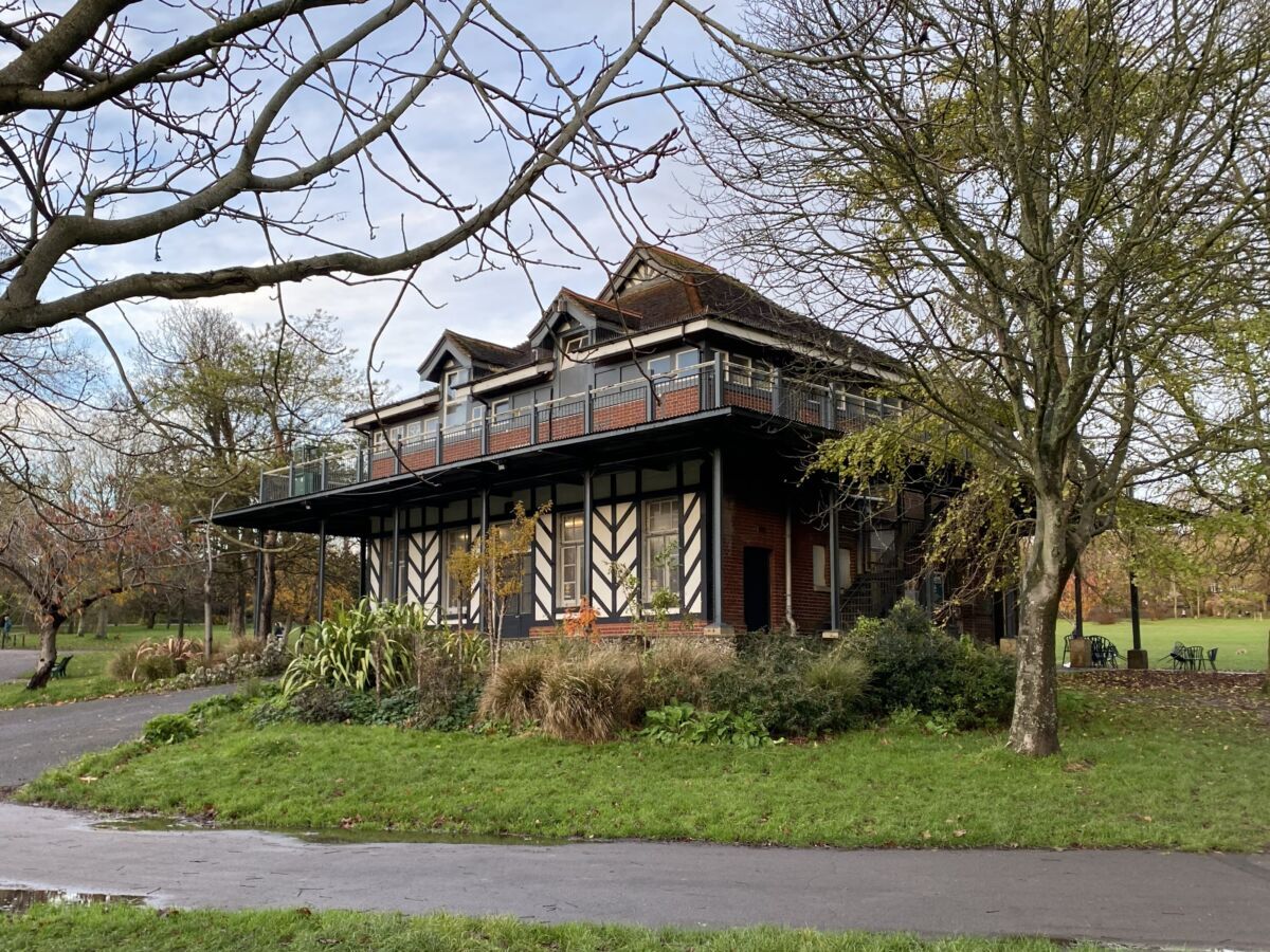
Google Maps provides directions to the permitted park entrance. Head south on The Ride until the Chalet Cafe can be seen to the SW.
Course Information
Early draft course details:
- Sprint - 3.4km, 21 controls, 40m climb
- Short Sprint - 2.5km, 14 controls, 35m climb
- Yellow - 1.6km, 13 controls, 30m climb
Entry Details
Entries via RaceSignup which close at 8pm on Friday Dec 19th.
Late fees (from 15th-19th December): Adults £8, Juniors £4
SI-card hire fee £1, or £2 for a contactless SIAC
Discounts:
SO junior members - 100% discount off entry fees - use code SOjuniors
Full time adult students - 50% discount off Adult fees - use code Student
Non-student young adults (25 and under) - 30% off Adult fees - use code YA
Start Times
Starts between 11.45am and 1:30pm. Yellow course runners can start when they wish.
Map Details
1:4,000 with 2.5m contours. Mapping to ISSprOM 2019-2 specification. Park remapped in November 2025 by Edward Lines.
Terrain Description
Urban park. The terrain is 40% hard surface and 60% grass. Trail shoes or rubber-studded shoes are recommended.
Dog restrictions
Well-behaved dogs on a lead.
Facilities
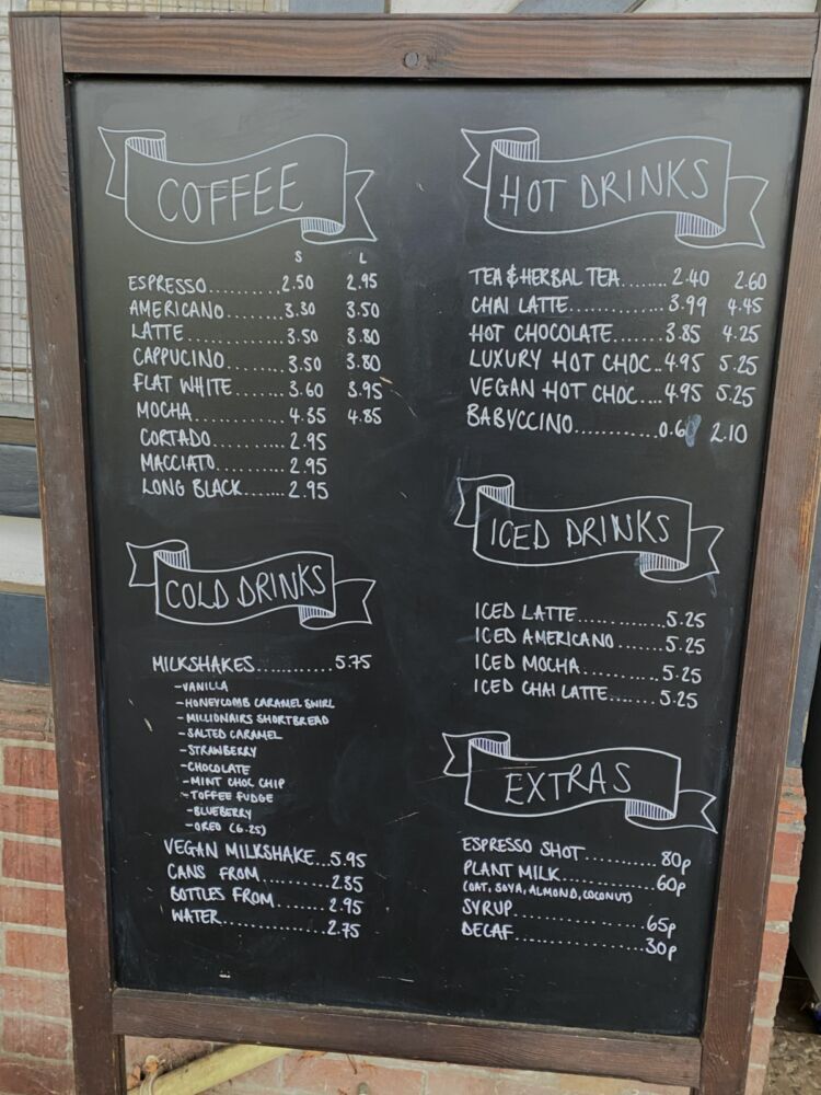
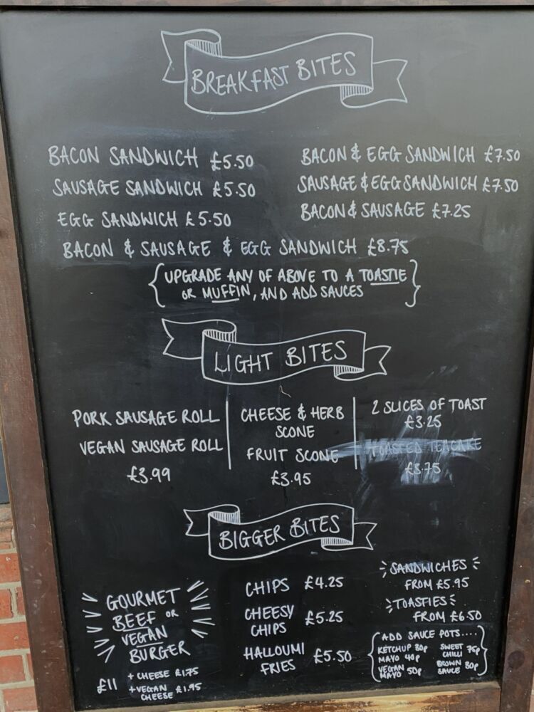
Assembly is adjacent to public toilets and the Chalet Cafe. The chalet has a canopy for shelter in case of bad weather.
Contacts / Officials
Planner: Edward Lines
Organiser: Robert Lines ([email protected])
Controller / Event Adviser: Sue Crickmore
Photo Gallery
click/tap photos for a larger version