Night-ODitchling CommonSat 03 February, 2018
Report
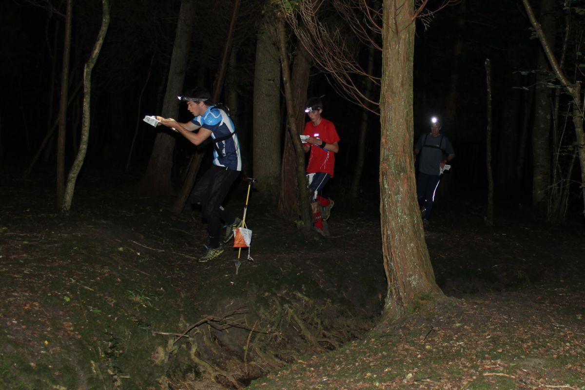
The runnability of Ditchling Common has improved enormously. Many of the thickets have been removed and at this time of year there is no sign of the bracken that takes over in the summer months. The map is a little old and the recent thinning of the woodland is not reflected in the mapping. Nevertheless a decent opportunity to get out in terrain for some night training. Thanks to Alex Lines for the planning.
RouteGadget
Is a web app for sharing and comparing orienteering routes. You can draw your own route or upload a GPS track from your watch. It also allows you to watch an animated replay with a simulated mass start.
Pre event info
Informal Night-O with SI punching. Please contact the organiser to reserve a map.
Location Info
Nearest town: Burgess Hill
- Postcode: BN6 8SQ *
- Lat,Lng:50.94572,-0.09609
- Grid Ref: TQ339180
- Google Map
- Streetmap (OS 50k)
- Bing Map (OS 50k)
- OpenStreetMap
* Postcodes are not very precise in some areas, so don't rely on them for an exact location.
Directions / Parking
Parking in the main car park on Folders Lane
Public Transport
1.6 miles from Burgess Hill Station
Course Information
Long 4.5km and Short 2.4km
Entry Details
Seniors £3, Juniors and Students £1. SO Juniors free.
Registration
5pm - 5.30pm
Start Times
5.30pm - 6.30pm. Controls collected at 7.30pm.
Map Details
1:7,500
Terrain Description
Fast open terrain and woodland of varying speed.
Dog restrictions
Yes
Facilities
None
Contacts / Officials
Planner: Alexander Lines
Organiser: Robert Lines
Controller:
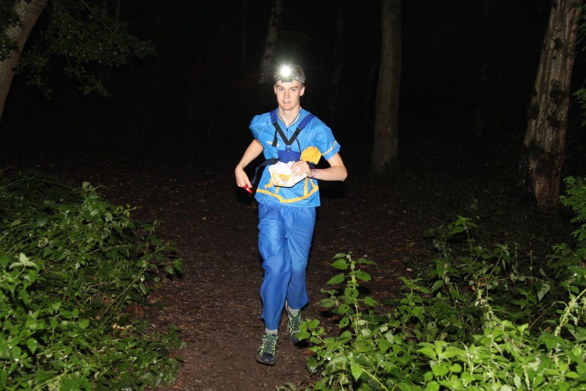
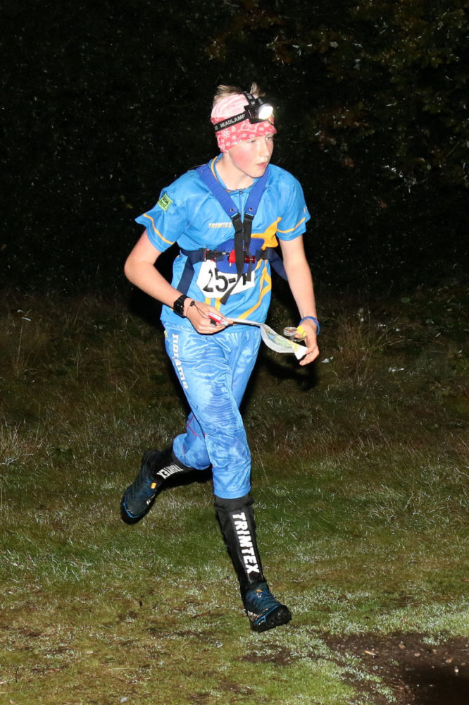
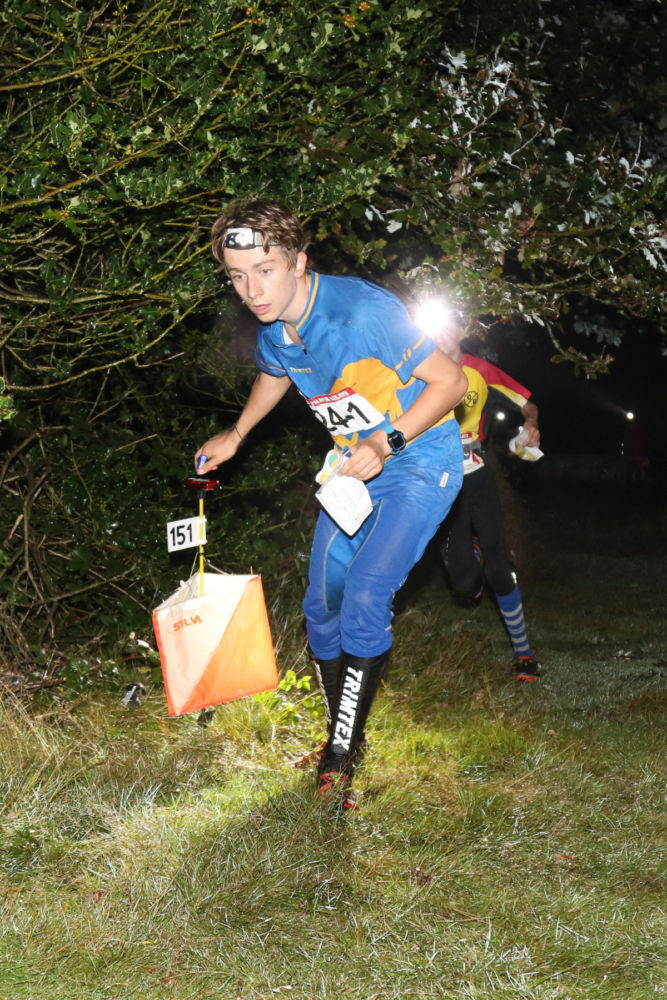
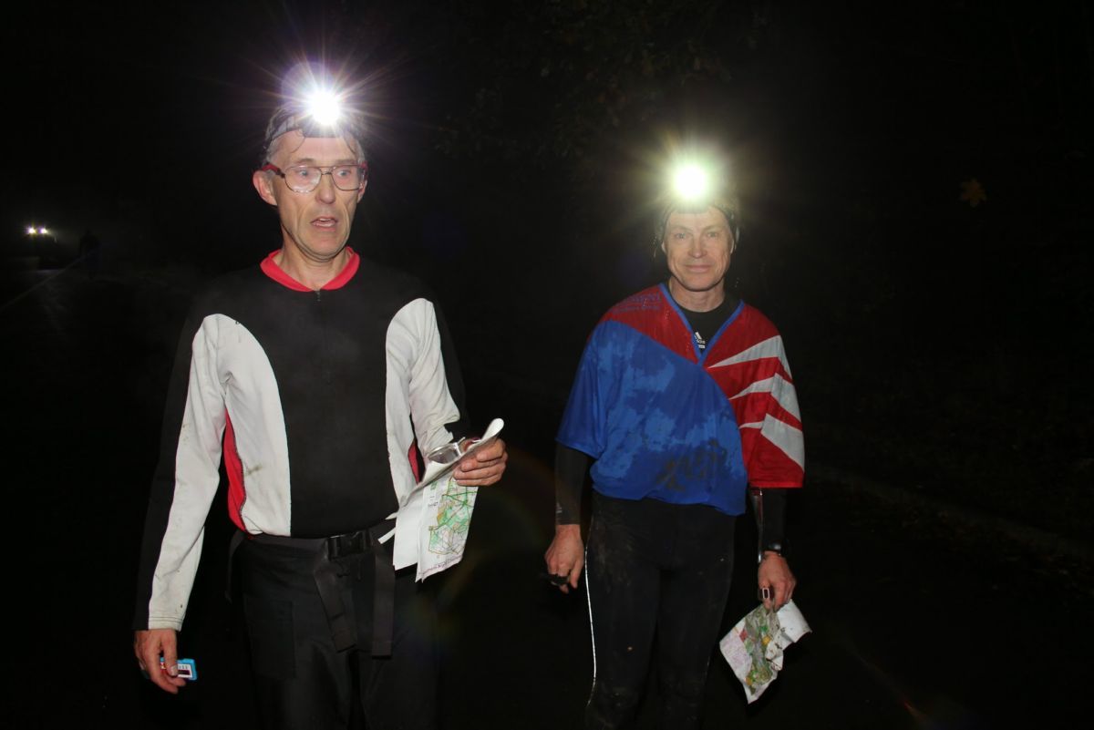
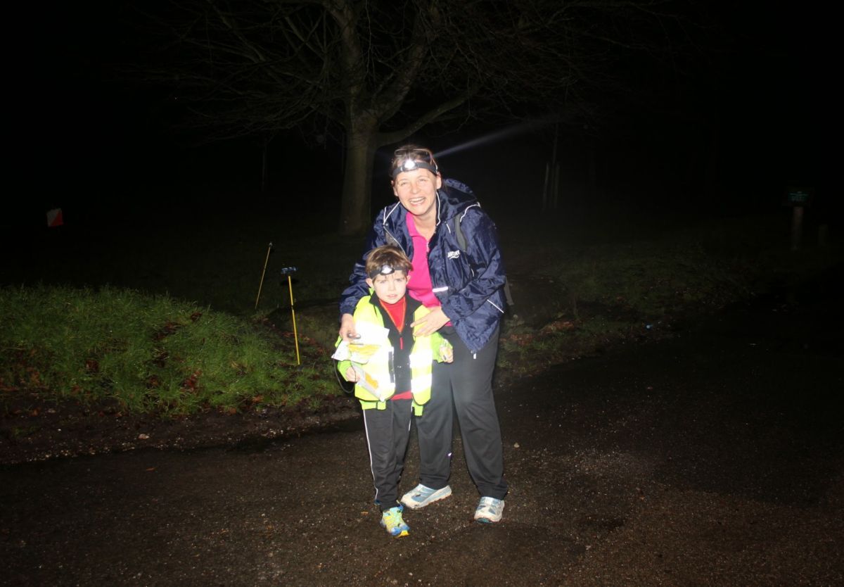
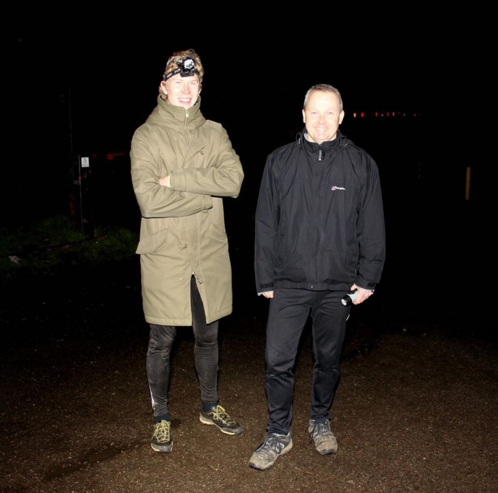
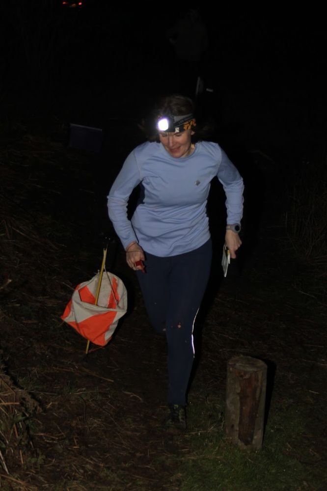
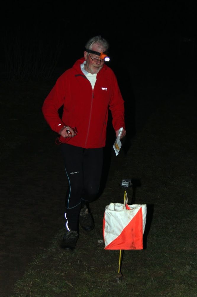
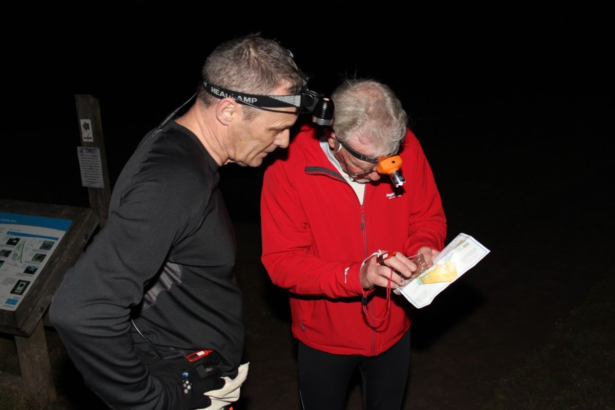
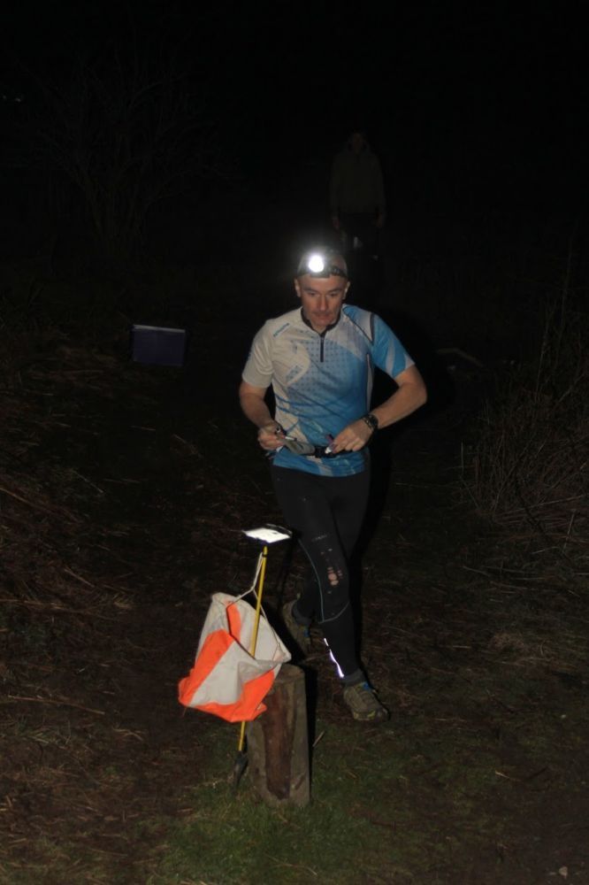
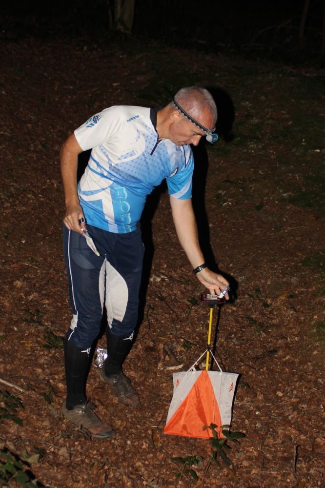
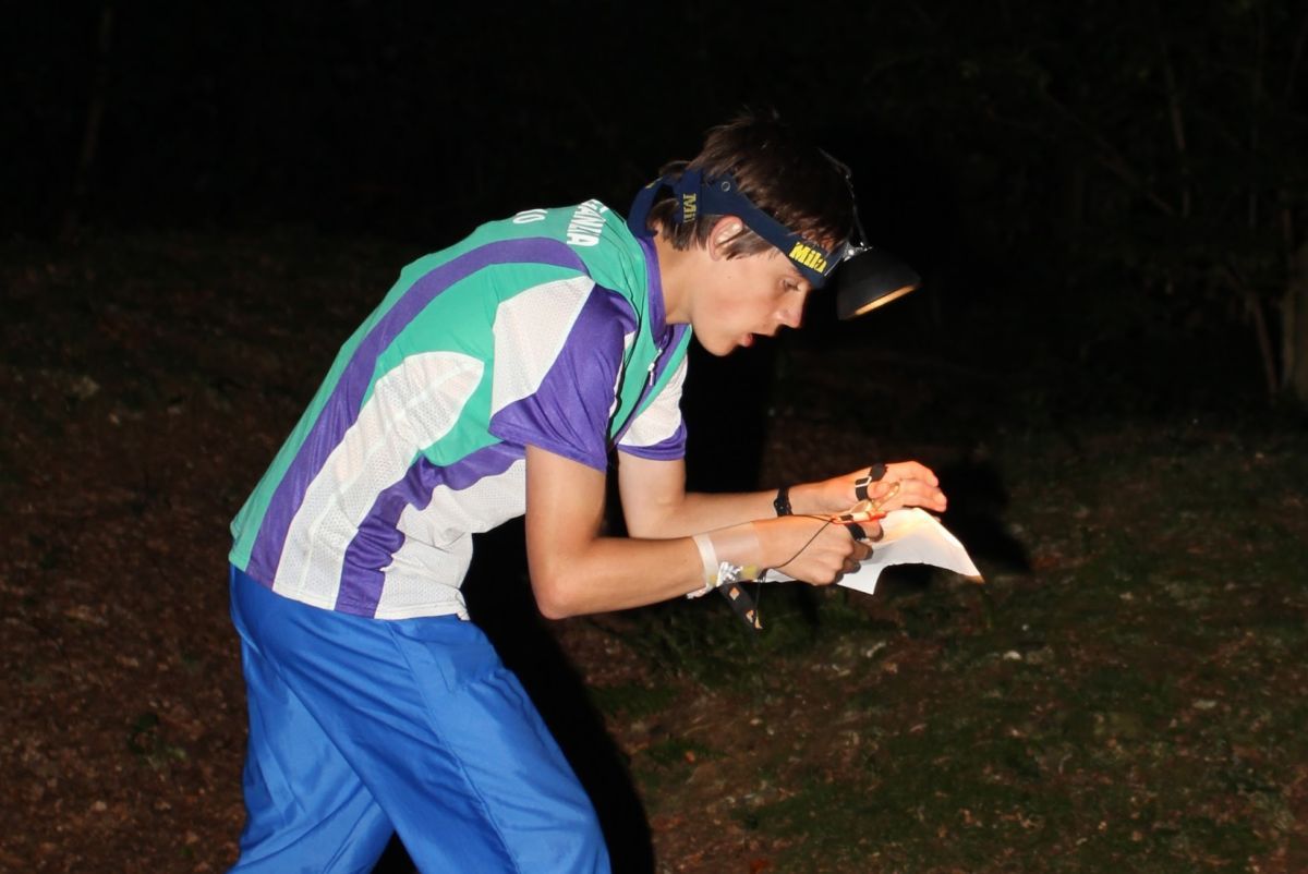
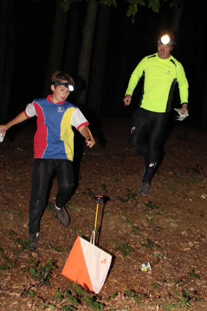
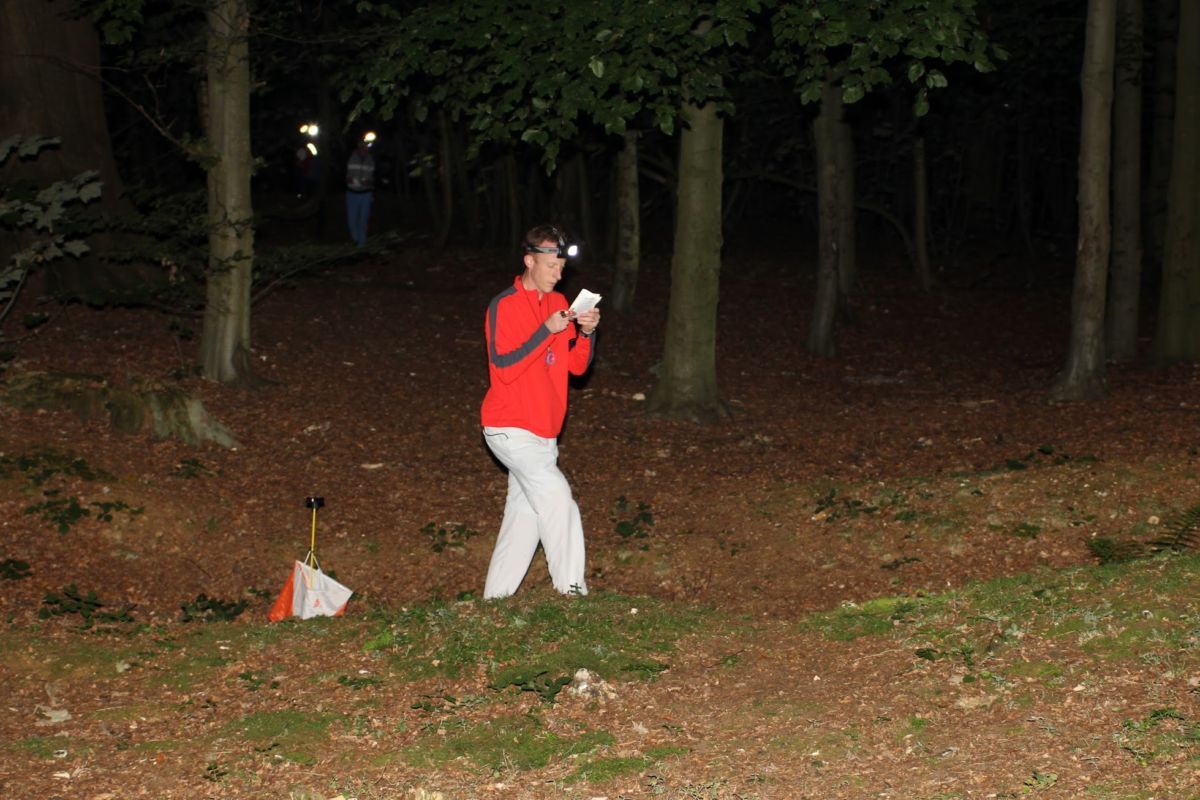
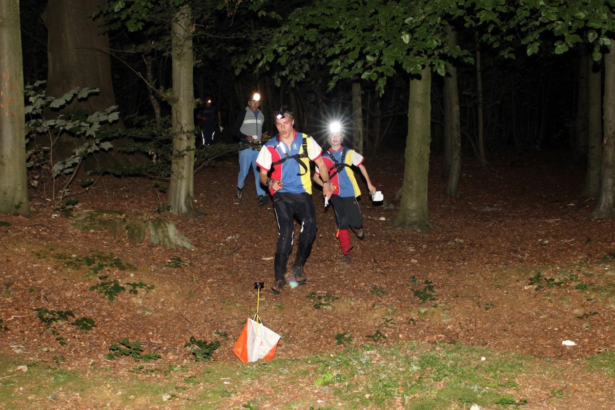
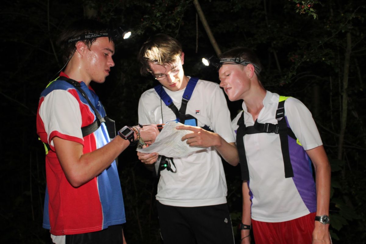
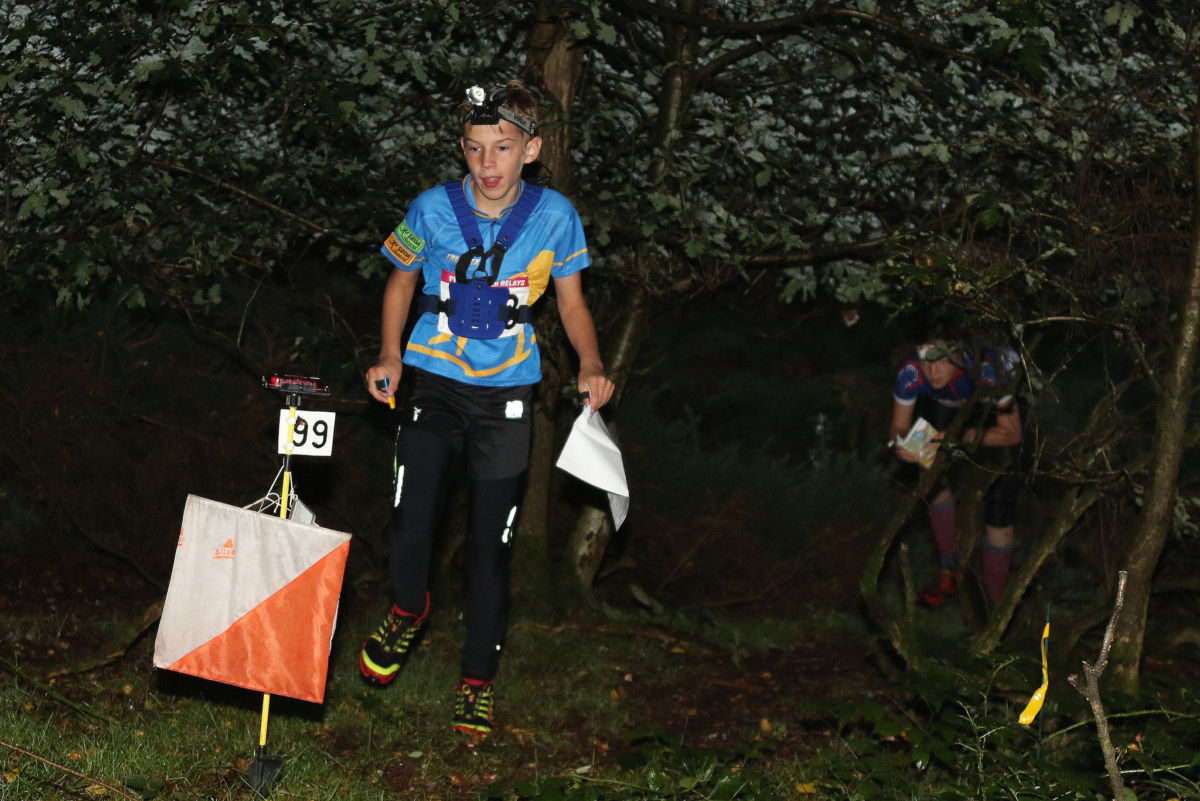
Photo Gallery
click/tap photos for a larger version